


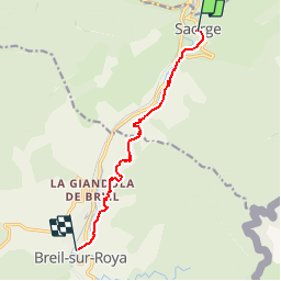

11.1 km | 23 km-effort

User


FREE GPS app for hiking
 SityTrail
IGN / Geographical institutes
SityTrail World
The world is yours!
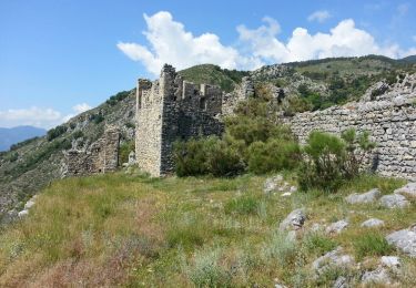
Trail Walking of 8.5 km to be discovered at Provence-Alpes-Côte d'Azur, Maritime Alps, Saorge. This trail is proposed by tracegps.
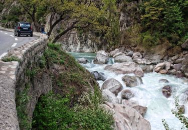
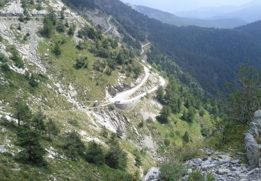
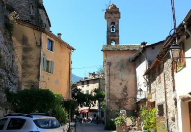
Via Alpina - R158: Saorge > Breil-sur-Roya. Cette étape au départ de Saorge emprunte le sentier valléen en balcon au-dessus de la vallée de la Roya jusqu’à Breil-sur-Roya, village typique de l’arrière-pays méditerranéen et point d’étape. Randonnée alpine (passage équipé ou très exposé, névé, blocs). Description complète de l’étape sur Via-Alpina.org.


On foot
On foot
On foot
On foot
On foot
On foot
Walking
Walking

Walking