Trail Walking Thérouanne - Thérouanne - Le sentier des batailles - Photo

Thérouanne - Le sentier des batailles

 tracegps
tracegps

User

© OpenStreetMap contributors
Length
Length
9.4 km
Max alt
Max alt
102 m
Uphill gradient
Uphill gradient
88 m
Km-Effort
Km-Effort  
10.6 km
Min alt
Min alt
35 m
Downhill gradient
Downhill gradient
88 m
Boucle
Boucle
Yes
Creation date :
2014-12-10 00:00:00.0
Updated on :
2014-12-10 00:00:00.0

(0 Reviews)

Walking
Walking
2h15
Difficulty : Medium

Scan this QR Code to open this trail in the SityTrail application

FREE GPS app for hiking

Logo SityTrail SityTrail

IGN / Geographical institutes

Download SityTrail from the App Store Download SityTrail from Google Play

Logo SityTrail SityTrail World

The world is yours!

Download SityTrail from the App Store Download SityTrail from Google Play Download SityTrail on Huawei AppGallery

About

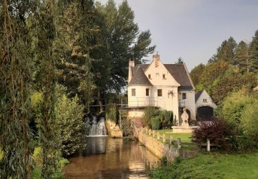
Trail Walking of 9.4 km to be discovered at Hauts-de-France, Pas-de-Calais, Thérouanne. This trail is proposed by tracegps.

Description

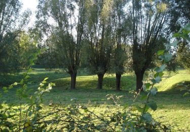
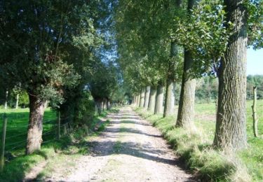
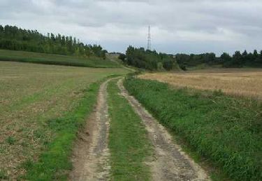
Communauté de Communes de la Morinie. Comme notre nom l'indique, notre territoire trouve son origine dans l'antique peuple gaulois des Morins, qui avaient installé leur capitale à Thérouanne. Son passé historique connu, fait que la ville est le point fort du tourisme local capable de rivaliser avec les centres de Saint-Omer et Aire sur la Lys. Ce passé prestigieux a laissé des traces dans plusieurs communes voisines. Outre ces richesses, le patrimoine naturel tient aussi une place importante. La Communauté de Communes possède un cadre paysager exceptionnel.

Elevation profile

Photos

Positioning

Country:
France
Region :
Hauts-de-France
Department/Province :
Pas-de-Calais
Municipality :
Thérouanne
Location:
Unknown
Start:(UTM)
447584 ; 5609665 (31U) N.

Trails nearby

Trail Walking Estrée-Blanche - Estrée Blanche - Photo
Walking
Greg813

Walking

Very difficult
Estrée-Blanche, Hauts-de-France, Pas-de-Calais, France
23 km | 26 km-effort
5h 55min
Yes
Trail Walking Quiestède - Sentier de Laprée - Quiestède - Photo
Walking
tracegps

Walking

Easy
Quiestède, Hauts-de-France, Pas-de-Calais, France
6.5 km | 7 km-effort
1h 40min
Yes
Trail Walking Delettes - Delettes - Le sentier les Bonniarts - Photo
Walking
tracegps

Walking

Medium
Delettes, Hauts-de-France, Pas-de-Calais, France
10.2 km | 12.5 km-effort
2h 45min
Yes
Trail Walking Bellinghem - Inghem - Le sentier des Bosquets - Photo
Walking
tracegps

Walking

Medium
Bellinghem, Hauts-de-France, Pas-de-Calais, France
8.2 km | 9.4 km-effort
1h 45min
Yes
Trail Cycle Ecques - SF 2009 Circuit d'Aire sur la Lys - Photo
Cycle
tracegps

Cycle

Medium
Ecques, Hauts-de-France, Pas-de-Calais, France
130 km | 144 km-effort
5h 57min
Yes
Trail Walking Thérouanne - Therouanne - Le sentier des Morins - Photo
Walking
tracegps

Walking

Medium
Thérouanne, Hauts-de-France, Pas-de-Calais, France
14.4 km | 16.5 km-effort
3h 30min
Yes
Trail Walking Mametz - Mametz - Le sentier des 3 clochers - Photo
Walking
tracegps

Walking

Medium
(1)
Mametz, Hauts-de-France, Pas-de-Calais, France
11.4 km | 12.7 km-effort
3h 0min
Yes
Trail Walking Bellinghem - Herbelles 12Kms (Dén P 138m) - Photo
Walking
alain62rando

Walking

Medium
Bellinghem, Hauts-de-France, Pas-de-Calais, France
12 km | 13.9 km-effort
2h 50min
Yes
Trail Walking Remilly-Wirquin - Créhem 12kms (Dén P 175m) - Photo
Walking
alain62rando

Walking

Medium
Remilly-Wirquin, Hauts-de-France, Pas-de-Calais, France
12 km | 14.3 km-effort
2h 35min
Yes


Close
My subscriptions