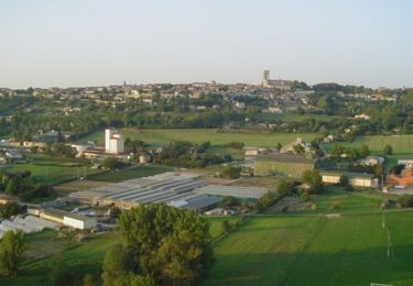
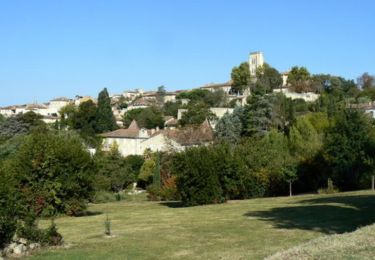
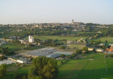
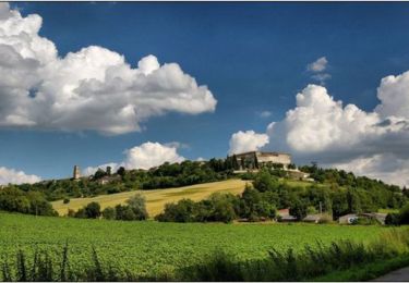
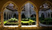
Trail Walking Lectoure - Lectoure - La Romieu - Chemin de Compostelle - Photo

Lectoure - La Romieu - Chemin de Compostelle

 tracegps
tracegps

User

© OpenStreetMap contributors
Length
Length
19.6 km
Max alt
Max alt
220 m
Uphill gradient
Uphill gradient
359 m
Km-Effort
Km-Effort  
24 km
Min alt
Min alt
76 m
Downhill gradient
Downhill gradient
351 m
Boucle
Boucle
No
Creation date :
2014-12-10 00:00:00.0
Updated on :
2014-12-10 00:00:00.0

(0 Reviews)

Walking
Walking
7h10
Difficulty : Very difficult

Scan this QR Code to open this trail in the SityTrail application

FREE GPS app for hiking

Logo SityTrail SityTrail

IGN / Geographical institutes

Download SityTrail from the App Store Download SityTrail from Google Play

Logo SityTrail SityTrail World

The world is yours!

Download SityTrail from the App Store Download SityTrail from Google Play Download SityTrail on Huawei AppGallery

About

Trail Walking of 19.6 km to be discovered at Occitania, Gers, Lectoure. This trail is proposed by tracegps.

Description

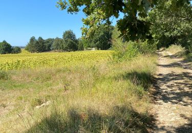
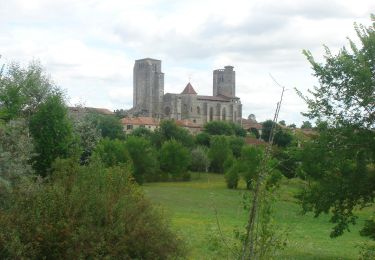
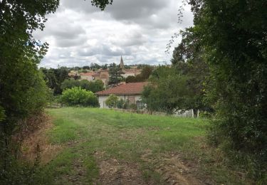
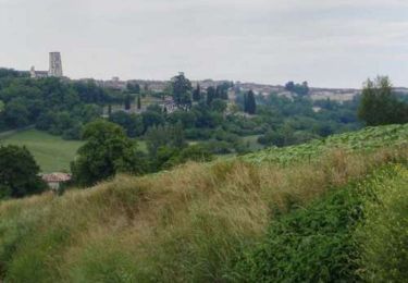
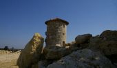
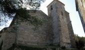
Nous avons pris untrès bon petit déjeuner au gîte Le Pèlerin d'Occident (Véronique Pautrel et Patrick Davet, 28 rue Sainte Claire, 32700 Lectoure, 05 62 28 50 35 & 06 25 79 40 61). Départ 7H50 Depuis la Cathédrale, descendre vers la Fontaine de Diane (0:20) et prendre une rue qui descend à droite pour revenir sur la N21. Tourner à gauche puis immédiatement à droite pour redescendre une route menant à la coopérative. Prendre à droite sur la grande rue puis à gauche pour rallier Pradoulin (0:40). Prendre à droite pour longer la vie ferrée et rejoindre la D7. Passer le Pont de Pile sur le Gers à gauche puis un chemin de terre à droite. Couper la D36 et passer Grabiou (1:10), Hausset (1:25) et Espasot (1:40). Aller à droite vers Marides (1:55) jusqu'à la Croix de la Justice (2:20). Une petite pose est la bienvenue (0:20). Quitter la route pour prendre un chemin de terre à droite, passer Jouet puis, 300m après, revenir à gauche sur Marsolan (3:10). Descendre la rue principale, croiser la D166, passer l'Auchie et remonter en face. Longue remontée sur le plateau jusqu'à un moulin restauré (4:10). Passer à gauche et passer au dessus de La Tuilerie. On trouve des endroit arborés propices aux casse croute! (4:25). (5:15) Passer Montravail et Batsurguère puis prendre un chemin qui descend vers le Lion d'Or et remonte au Bois de la Ville (6:10). Au sortir du bois, prendre à droite sur quelques mètres puis à gauche pour longer une forêt et des fruitiers. Prendre un chemin à droite vers La Bourdette (6:50). La Cathédrale de La Romieu se dévoile, magnifique! Rejoindre la D41 qui contourne le centre historique du village (7:10).

Elevation profile

Photos

Positioning

Country:
France
Region :
Occitania
Department/Province :
Gers
Municipality :
Lectoure
Location:
Unknown
Start:(UTM)
309441 ; 4867303 (31T) N.

Trails nearby

Trail Walking Lectoure - GR65 Lectoure > La Romieu - Photo
Walking
choubaka77

Walking

Easy
Lectoure, Occitania, Gers, France
18.8 km | 24 km-effort
5h 53min
No
Trail Walking Lectoure - CC_Velay_ED_20_Lectoure_Castelnau-Auvignon_20080820 - Photo
Walking
patrickdanilo

Walking

Medium
Lectoure, Occitania, Gers, France
24 km | 30 km-effort
5h 45min
No
Trail Walking Lectoure - 32-05-Au Cœur de Gascogne Auch-24km-102-5607- - Photo
Walking
rvs147

Walking

Medium
Lectoure, Occitania, Gers, France
24 km | 29 km-effort
6h 10min
No
Trail Walking Lectoure - espazot condom 13.7.2017  - Photo
Walking
mota.filipe

Walking

Very easy
Lectoure, Occitania, Gers, France
22 km | 27 km-effort
4h 50min
No
Trail Walking Lectoure - Lac des trois vallées - Lectoure - Photo
Walking
tracegps

Walking

Medium
(1)
Lectoure, Occitania, Gers, France
14.2 km | 18.3 km-effort
3h 30min
Yes
Trail Walking Lectoure - Groussan - Lectoure - Photo
Walking
tracegps

Walking

Medium
Lectoure, Occitania, Gers, France
4 km | 5.8 km-effort
1h 0min
Yes
Trail Walking Lectoure - Arton - Lectoure - Photo
Walking
tracegps

Walking

Difficult
Lectoure, Occitania, Gers, France
20 km | 25 km-effort
5h 0min
Yes
Trail Walking Lectoure - Les Galis - Lectoure - Photo
Walking
tracegps

Walking

Difficult
Lectoure, Occitania, Gers, France
17.9 km | 23 km-effort
4h 30min
Yes
Trail Walking Lectoure - Navère - Lectoure - Photo
Walking
tracegps

Walking

Medium
Lectoure, Occitania, Gers, France
11.3 km | 14.9 km-effort
3h 0min
Yes


Close
My subscriptions