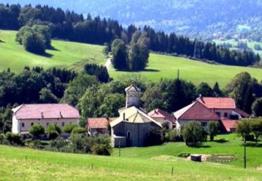
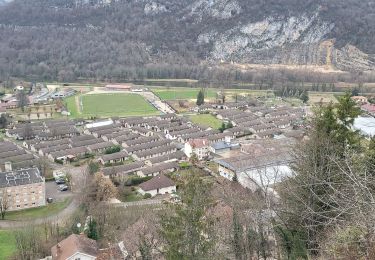
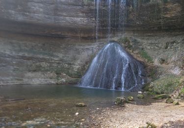
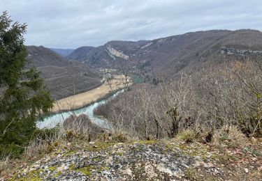
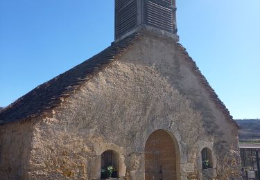
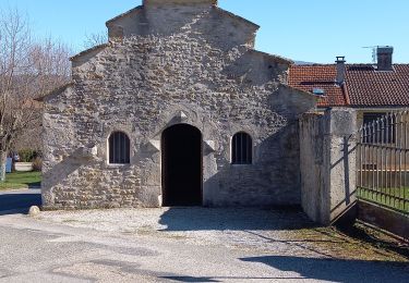
Trail Walking Viry - Haut Jura  - Viry - Moirans en Montagne - Photo

Haut Jura - Viry - Moirans en Montagne

 tracegps
tracegps

User

© OpenStreetMap contributors
Length
Length
29 km
Max alt
Max alt
845 m
Uphill gradient
Uphill gradient
942 m
Km-Effort
Km-Effort  
42 km
Min alt
Min alt
311 m
Downhill gradient
Downhill gradient
1189 m
Boucle
Boucle
No
Creation date :
2014-12-10 00:00:00.0
Updated on :
2014-12-10 00:00:00.0

(0 Reviews)

Walking
Walking
7h00
Difficulty : Very difficult

Scan this QR Code to open this trail in the SityTrail application

FREE GPS app for hiking

Logo SityTrail SityTrail

IGN / Geographical institutes

Download SityTrail from the App Store Download SityTrail from Google Play

Logo SityTrail SityTrail World

The world is yours!

Download SityTrail from the App Store Download SityTrail from Google Play Download SityTrail on Huawei AppGallery

About

Trail Walking of 29 km to be discovered at Bourgogne-Franche-Comté, Jura, Viry. This trail is proposed by tracegps.

Description

Haut Jura - Viry - Moirans en Montagne. L’association du Jura du Grand Huit est née en 1987, elle est spécialisée alors dans la rando à cheval. Elle regroupe des hébergements de randonnée, des professionnels équestres proposant des séjours cheval (rando accompagnées, stages, roulottes…) et des bénévoles baliseurs. Elle entretient, balise et aménage les itinéraires équestres sur le département du Jura. Ses itinéraires sont accessibles aux cavaliers et aux marcheurs, ils permettent de parcourir l’ensemble du département, de la Bresse Jurassienne aux Hautes Combes en passant par le vignoble, les lacs et les plateaux. Le Grand Huit vous propose des idées de séjours en boucle de 2 à plusieurs jours. De multiples possibilités vous sont offertes, vous trouverez sur le site quelques propositions non exhaustives. Attention, les itinéraires peuvent changer d’une année à l’autre et subir des modifications.

Elevation profile

Photos

Positioning

Country:
France
Region :
Bourgogne-Franche-Comté
Department/Province :
Jura
Municipality :
Viry
Location:
Unknown
Start:(UTM)
709358 ; 5131046 (31T) N.

Trails nearby

Trail Walking Viry - Haut Jura - Giron - Viry - Photo
Walking
tracegps

Walking

Difficult
(1)
Viry, Bourgogne-Franche-Comté, Jura, France
25 km | 37 km-effort
6h 0min
No
Trail Walking Dortan - vouais. la pierre qui vire.la cascade de la combe. - Photo
Walking
colomb24

Walking

Easy
Dortan, Auvergne-Rhône-Alpes, Ain, France
10 km | 14.7 km-effort
2h 51min
Yes
Trail On foot Dortan - La Pierre qui vire - Photo
On foot
GUIDE+

On foot

Easy
Dortan, Auvergne-Rhône-Alpes, Ain, France
3.1 km | 6.1 km-effort
1h 23min
No
Trail Walking Dortan - Boucle sur les hauteurs de Dortan  - Photo
Walking
zefreefly

Walking

Medium
Dortan, Auvergne-Rhône-Alpes, Ain, France
18.1 km | 28 km-effort
4h 35min
Yes
Trail Walking Viry - Siege - Photo
Walking
Jackoyo

Walking

Medium
Viry, Bourgogne-Franche-Comté, Jura, France
7.6 km | 11.5 km-effort
2h 28min
Yes
Trail Walking Dortan - vouais - Photo
Walking
colomb24

Walking

Difficult
Dortan, Auvergne-Rhône-Alpes, Ain, France
14.3 km | 22 km-effort
7h 11min
Yes
Trail Walking Dortan - dortan .la pierre qui vire  .les 3 dammetes et  retour dortant retour  - Photo
Walking
colomb24

Walking

Medium
Dortan, Auvergne-Rhône-Alpes, Ain, France
13.7 km | 20 km-effort
4h 32min
Yes
Trail Walking Choux - choux vulvoz - Photo
Walking
jean-paul.borges

Walking

Very easy
(1)
Choux, Bourgogne-Franche-Comté, Jura, France
12.1 km | 18.2 km-effort
3h 49min
Yes
Trail Walking Choux - Choux Cuchet - Photo
Walking
HB01

Walking

Easy
Choux, Bourgogne-Franche-Comté, Jura, France
11.1 km | 15.4 km-effort
3h 1min
Yes


Close
My subscriptions