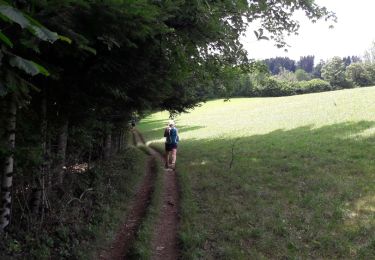
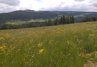
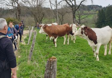
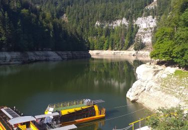
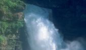
Trail Cycle Villers-le-Lac - Le Saut du Doubs - Le Châtelot - Doubs - Photo

Le Saut du Doubs - Le Châtelot - Doubs

 tracegps
tracegps

User

© OpenStreetMap contributors
Length
Length
62 km
Max alt
Max alt
1237 m
Uphill gradient
Uphill gradient
1579 m
Km-Effort
Km-Effort  
83 km
Min alt
Min alt
608 m
Downhill gradient
Downhill gradient
1569 m
Boucle
Boucle
Yes
Creation date :
2014-12-10 00:00:00.0
Updated on :
2014-12-10 00:00:00.0

(0 Reviews)

Cycle
Cycle
3h30
Difficulty : Difficult

Scan this QR Code to open this trail in the SityTrail application

FREE GPS app for hiking

Logo SityTrail SityTrail

IGN / Geographical institutes

Download SityTrail from the App Store Download SityTrail from Google Play

Logo SityTrail SityTrail World

The world is yours!

Download SityTrail from the App Store Download SityTrail from Google Play Download SityTrail on Huawei AppGallery

About

Trail Cycle of 62 km to be discovered at Bourgogne-Franche-Comté, Doubs, Villers-le-Lac. This trail is proposed by tracegps.

Description

Le Doubs, réserve naturelle d’idées neuves ! Le Saut du Doubs – Le Châtelot Office de tourisme (03 81 68 00 98) - Musée de la Montre (03 81 68 08 00) - Musée de la Radio (03 81 68 00 59) - Embarcadères des compagnies de navigation vers le Saut du Doubs : CNFS Vedettes panoramiques (03 81 68 05 34) et Compagnie Droz-Bartholet (03 81 68 05 34) - Les Calèches du Saut du Doubs (03 81 68 09 03) - Chapelle St-Joseph des Bassots (XVIIe) - Lac de Chaillexon Entrée en Suisse A proximité : Ville du Locle : Musée d’horlogerie du Château des Monts, Moulin souterrain du Col des Roches… Ville de La Chaux-de-Fonds : Art nouveau, Musée international d’horlogerie, Musée des Beaux-Arts, Villa turque (Le Corbusier), Parc zoologique… Site de Biaufond Retour en France A proximité Les échelles de la mort Belvédère de la Cendrée à Charquemont Parc-aventure de la Combe Saint-Pierre Le barrage du Châtelot au Pissoux Le Saut du Doubs, chute d’eau de 27 m , classé Grand site national Les Bassins du Doubs

Elevation profile

Photos

Positioning

Country:
France
Region :
Bourgogne-Franche-Comté
Department/Province :
Doubs
Municipality :
Villers-le-Lac
Location:
Unknown
Start:(UTM)
323078 ; 5214397 (32T) N.

Trails nearby

Trail Walking Villers-le-Lac - Le saut du Doubs et le Châtelard - Photo
Walking
VacheKiri67

Walking

Medium
(2)
Villers-le-Lac, Bourgogne-Franche-Comté, Doubs, France
11.5 km | 18.8 km-effort
3h 56min
Yes
Trail On foot Le Locle - Hôtel du Saut du Doubs - Gare des Brenets - Photo
On foot
GUIDE+

On foot

Easy
Le Locle, Neuchâtel, Unknown, Switzerland
3.1 km | 4.3 km-effort
58min
No
Trail On foot Le Locle - Les Frêtes - fixme - Photo
On foot
GUIDE+

On foot

Easy
Le Locle, Neuchâtel, Unknown, Switzerland
4.1 km | 6.7 km-effort
1h 31min
No
Trail On foot Le Locle - Les Frêtes - fixme - Photo
On foot
GUIDE+

On foot

Easy
Le Locle, Neuchâtel, Unknown, Switzerland
3.4 km | 5.8 km-effort
1h 19min
No
Trail Walking Villers-le-Lac - Le Pisoux - Photo
Walking
eltonnermou

Walking

Difficult
Villers-le-Lac, Bourgogne-Franche-Comté, Doubs, France
22 km | 32 km-effort
7h 16min
Yes
Trail Walking Villers-le-Lac - Saut du Doubs - Photo
Walking
janussity

Walking

Difficult
Villers-le-Lac, Bourgogne-Franche-Comté, Doubs, France
11.6 km | 16.8 km-effort
2h 52min
No
Trail Walking Montlebon - montlebon - Photo
Walking
eltonnermou

Walking

Medium
Montlebon, Bourgogne-Franche-Comté, Doubs, France
16.4 km | 23 km-effort
6h 1min
Yes
Trail Walking Villers-le-Lac - les brenets - Photo
Walking
eltonnermou

Walking

Medium
Villers-le-Lac, Bourgogne-Franche-Comté, Doubs, France
15.2 km | 23 km-effort
94h 30min
No
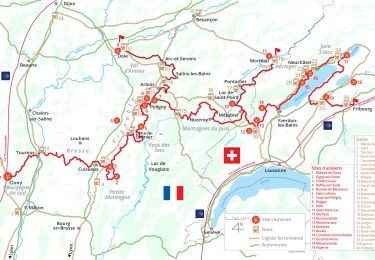
Trail Walking Morteau - Via Cluny: de Morteau (Montagnes du Jura) à Cluny (Bourgogne) - Photo
Walking
GUIDE
ViaCluny

Walking

Very difficult
Morteau, Bourgogne-Franche-Comté, Doubs, France
445 km | 590 km-effort
134h 8min
No


Close
My subscriptions