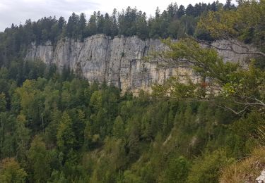
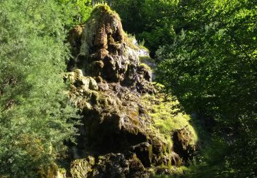
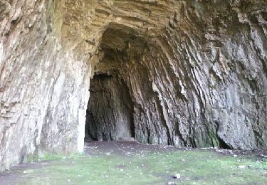
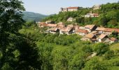
Trail Cycle Saint-Hippolyte - Le Château de Belvoir - Doubs - Photo

Le Château de Belvoir - Doubs

 tracegps
tracegps

User

© OpenStreetMap contributors
Length
Length
79 km
Max alt
Max alt
769 m
Uphill gradient
Uphill gradient
1492 m
Km-Effort
Km-Effort  
99 km
Min alt
Min alt
370 m
Downhill gradient
Downhill gradient
1492 m
Boucle
Boucle
Yes
Creation date :
2014-12-10 00:00:00.0
Updated on :
2014-12-10 00:00:00.0

(1 Reviews)

Cycle
Cycle
3h30
Difficulty : Difficult

Scan this QR Code to open this trail in the SityTrail application

FREE GPS app for hiking

Logo SityTrail SityTrail

IGN / Geographical institutes

Download SityTrail from the App Store Download SityTrail from Google Play

Logo SityTrail SityTrail World

The world is yours!

Download SityTrail from the App Store Download SityTrail from Google Play Download SityTrail on Huawei AppGallery

About

Trail Cycle of 79 km to be discovered at Bourgogne-Franche-Comté, Doubs, Saint-Hippolyte. This trail is proposed by tracegps.

Description

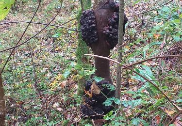
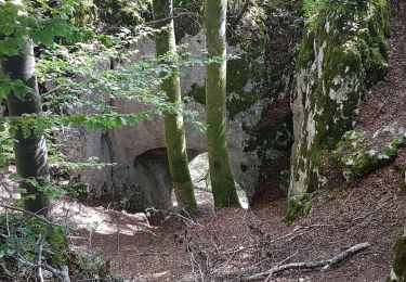
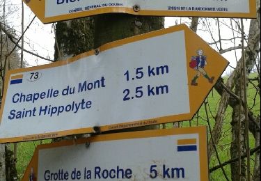
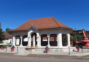
Le Doubs, réserve naturelle d’idées neuves ! Le Château de Belvoir Syndicat d’initiative à Saint-Hippolyte (03 81 96 58 00), Petite cité comtoise de caractère, collégiale du XIVe et ancien couvent des Ursulines A proximité : - Musée de la Pince à Montécheroux (03 81 92 50 00 ou 03 81 92 56 77) - Le « Clos du Doubs », vallée du Doubs en direction de la Suisse (lacs de retenue, patrimoine rural…) Vallée du Dessoubre Vallée de la Reverotte A proximité : - Cirque de Consolation - Cascade et moulin de Vermondans Source et cascade du val à Pierrefontaine-les-Varans Belvédères du Peu à Laviron Belvédère du Dard Point info à Sancey-le-Grand (03 81 86 87 62) Basilique néo-romane Sainte Jeanne-Antide à Sancey-le-Long (03 81 86 82 41) Château de Belvoir, château des XII et XIIIe siècles entièrement restauré, belle collection d’armes, tableaux, meubles... (03 81 86 30 34) Halles seigneuriales (XIVe) A proximité : Vallée de la Barbèche Musée aux produits du terroir comtois à Provenchère (03 81 44 38 67) A proximité : Belvédère de Montaigu à Valoreille Eglise Saint-Léger aux Terres-de-Chaux (XIIe), modèle d’architecture religieuse, fresque médiévales…

Elevation profile

Photos

Positioning

Country:
France
Region :
Bourgogne-Franche-Comté
Department/Province :
Doubs
Municipality :
Saint-Hippolyte
Location:
Unknown
Start:(UTM)
334701 ; 5242856 (32T) N.

Comments

Please log in to post a review or rate the element


Trails nearby

Trail Walking Saint-Hippolyte - Hippolyte  - Photo
Walking
eltonnermou

Walking

Easy
Saint-Hippolyte, Bourgogne-Franche-Comté, Doubs, France
11.8 km | 17.6 km-effort
2h 57min
Yes
Trail Walking Saint-Hippolyte - St Hippolyte - Grotte du Château de la Roche - Grotte du Bisontin - Photo
Walking
Bart2015

Walking

Medium
Saint-Hippolyte, Bourgogne-Franche-Comté, Doubs, France
14.5 km | 22 km-effort
3h 8min
Yes
Trail Walking Montécheroux - grotte du Bisontin depuis Montécheroux - Photo
Walking
margotte

Walking

Easy
Montécheroux, Bourgogne-Franche-Comté, Doubs, France
10.6 km | 14.8 km-effort
3h 12min
Yes
Trail Walking Noirefontaine - oeil de boeuf - Photo
Walking
klopbill

Walking

Medium
(1)
Noirefontaine, Bourgogne-Franche-Comté, Doubs, France
12.4 km | 17 km-effort
3h 50min
Yes
Trail Walking Saint-Hippolyte - GTJ jour1 - Photo
Walking
werth

Walking

Difficult
Saint-Hippolyte, Bourgogne-Franche-Comté, Doubs, France
18.6 km | 28 km-effort
7h 38min
No
Trail Mountain bike Saint-Hippolyte - j2 jura - Photo
Mountain bike
Thierry Lalouze

Mountain bike

Difficult
Saint-Hippolyte, Bourgogne-Franche-Comté, Doubs, France
51 km | 74 km-effort
4h 23min
No
Trail Walking Saint-Hippolyte - Étape 3 : St Hippolyte à Fessevillers - Photo
Walking
annefrance70

Walking

Difficult
Saint-Hippolyte, Bourgogne-Franche-Comté, Doubs, France
18.3 km | 28 km-effort
6h 58min
No
Trail Walking Villars-lès-Blamont - Sappois  - Photo
Walking
juliogomez

Walking

Medium
Villars-lès-Blamont, Bourgogne-Franche-Comté, Doubs, France
15.7 km | 23 km-effort
5h 15min
Yes
Trail Running Chamesol - grotte du château des roches - Photo
Running
ebihr4

Running

Easy
Chamesol, Bourgogne-Franche-Comté, Doubs, France
9.1 km | 14.2 km-effort
2h 57min
Yes


Close
My subscriptions