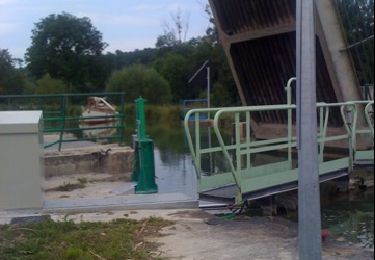
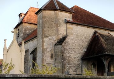
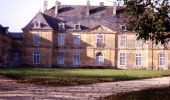
Trail Walking Donjeux - Le Château de Donjeux - Photo

Le Château de Donjeux

 tracegps
tracegps

User

© OpenStreetMap contributors
Length
Length
14.5 km
Max alt
Max alt
268 m
Uphill gradient
Uphill gradient
235 m
Km-Effort
Km-Effort  
17.6 km
Min alt
Min alt
197 m
Downhill gradient
Downhill gradient
226 m
Boucle
Boucle
No
Creation date :
2014-12-10 00:00:00.0
Updated on :
2014-12-10 00:00:00.0

(1 Reviews)

Walking
Walking
3h00
Difficulty : Medium

Scan this QR Code to open this trail in the SityTrail application

FREE GPS app for hiking

Logo SityTrail SityTrail

IGN / Geographical institutes

Download SityTrail from the App Store Download SityTrail from Google Play

Logo SityTrail SityTrail World

The world is yours!

Download SityTrail from the App Store Download SityTrail from Google Play Download SityTrail on Huawei AppGallery

About

Trail Walking of 14.5 km to be discovered at Grand Est, Haute-Marne, Donjeux. This trail is proposed by tracegps.

Description

Les Randonnées Thématiques du Comité Régional du Tourisme de Champagne-Ardenne Le Château de Donjeux Au cours de cette agréable randonnée, vous longerez deux grandes rivières haut-marnaises : la Marne et le Rognon. Vous rejoindrez les deux vallées en empruntant notamment l’ancienne voie de chemin de fer (le Coco), qui remontait le Rognon. Vous découvrirez alors les paysages typiques des vallées de Haute-Marne.

Elevation profile

Photos

Positioning

Country:
France
Region :
Grand Est
Department/Province :
Haute-Marne
Municipality :
Donjeux
Location:
Unknown
Start:(UTM)
659479 ; 5359178 (31U) N.

Comments

Please log in to post a review or rate the element


super pour la rando


Trails nearby

Trail Walking Donjeux - château de Donjeux - Photo
Walking
Decorse

Walking

Very easy
Donjeux, Grand Est, Haute-Marne, France
43 km | 57 km-effort
Unknown
No
Trail Cycle Donjeux - les lacets de melaire - Photo
Cycle
PhilippeC54

Cycle

Easy
Donjeux, Grand Est, Haute-Marne, France
44 km | 52 km-effort
2h 40min
Yes
Trail Walking Fronville - Le Moulin de Sombreuil à Fronville - Photo
Walking
guariso

Walking

Medium
Fronville, Grand Est, Haute-Marne, France
8.7 km | 12.3 km-effort
2h 47min
Yes
Trail Electric bike Gudmont-Villiers - 2024-02-22_1447272517_Jour 5 De Villiers sur Marne à Villiers sur Suize - Photo
Electric bike
FPortier

Electric bike

Very easy
Gudmont-Villiers, Grand Est, Haute-Marne, France
54 km | 61 km-effort
Unknown
No
Trail Bicycle tourism Mussey-sur-Marne - Mussey sur Marne/presqu'île de Giffaumont Champauber Lac du Der  - Photo
Bicycle tourism
levequejef

Bicycle tourism

Easy
Mussey-sur-Marne, Grand Est, Haute-Marne, France
66 km | 71 km-effort
5h 27min
No
Trail Walking Doulaincourt-Saucourt - Doulaincourt saint-Brice - Photo
Walking
MAUVAGE Patrick

Walking

Doulaincourt-Saucourt, Grand Est, Haute-Marne, France
2.1 km | 2.4 km-effort
32min
Yes
Trail Other activity Gudmont-Villiers - gudmont dec2016 - Photo
Other activity
waldruchre

Other activity

Very easy
Gudmont-Villiers, Grand Est, Haute-Marne, France
6.1 km | 7.5 km-effort
1h 47min
Yes


Close
My subscriptions