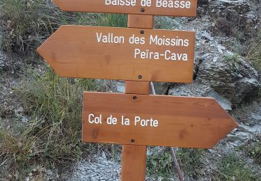
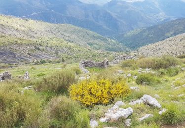
9.9 km | 18.6 km-effort
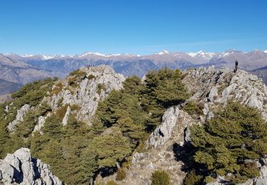
Circuit du grand Braus de Luceram
GrouGary
User
Length
10.9 km
Max alt
1315 m
Uphill gradient
787 m
Km-Effort
21 km
Min alt
641 m
Downhill gradient
788 m
Boucle
Yes
Creation date :
2019-01-15 20:33:45.057
Updated on :
2019-01-15 20:33:45.057
7h04
Difficulty : Medium
FREE GPS app for hiking
About
Trail Walking of 10.9 km to be discovered at Provence-Alpes-Côte d'Azur, Maritime Alps, Lucéram. This trail is proposed by GrouGary.
Description
Montée versant Sud du Mt Auri puis crête du grd Braus (tres belle vue mais ronces) et Col de l'Able
Positioning
Country:
France
Region :
Provence-Alpes-Côte d'Azur
Department/Province :
Maritime Alps
Municipality :
Lucéram
Location:
Unknown
Start:(Dec)
Start:(UTM)
368230 ; 4860250 (32T) N.
Comments
Trails nearby
Circuit du Grand Braus
On foot
Easy
Lucéram,
Provence-Alpes-Côte d'Azur,
Maritime Alps,
France
4h 13min
Yes
Rocca Sparviera Rocca Siera
Walking
Very difficult
Duranus,
Provence-Alpes-Côte d'Azur,
Maritime Alps,
France
16 km | 28 km-effort
6h 18min
Yes
Cime de Rocassiera depuis l'Engarvin
Walking
Medium
Duranus,
Provence-Alpes-Côte d'Azur,
Maritime Alps,
France
15.4 km | 27 km-effort
4h 40min
Yes
L'Engarvin - cime de Roccasierra
Walking
Medium
Duranus,
Provence-Alpes-Côte d'Azur,
Maritime Alps,
France
16.4 km | 28 km-effort
4h 42min
Yes
Cime de Penas
Walking
Medium
Sospel,
Provence-Alpes-Côte d'Azur,
Maritime Alps,
France
11 km | 21 km-effort
6h 38min
Yes
Village de S - départ du lieu dit "L'Engarvin"
Walking
Medium
Duranus,
Provence-Alpes-Côte d'Azur,
Maritime Alps,
France
7.4 km | 12.7 km-effort
3h 0min
Yes
Beasse Peira Cava
Walking
Difficult
Lucéram,
Provence-Alpes-Côte d'Azur,
Maritime Alps,
France
19 km | 31 km-effort
9h 50min
Yes
Col de Porte Col de L’Autaret
Walking
Medium
Lucéram,
Provence-Alpes-Côte d'Azur,
Maritime Alps,
France
11.2 km | 26 km-effort
5h 8min
Yes
Cime Roccasiera a/r
Walking
Medium
Lucéram,
Provence-Alpes-Côte d'Azur,
Maritime Alps,
France
7.6 km | 14.4 km-effort
3h 46min
Yes