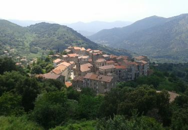
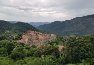
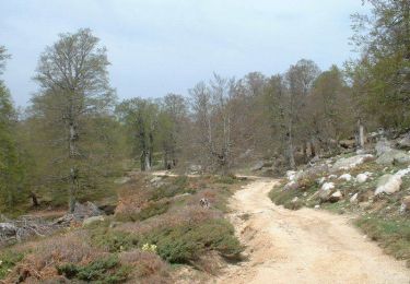
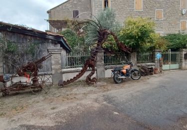
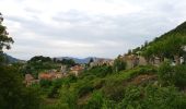
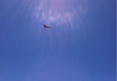
Trail Walking Serra-di-Scopamène - Mare a Mare Sud - De Serra di Scopamena à Santa Lucia di Tallano - Photo

Mare a Mare Sud - De Serra di Scopamena à Santa Lucia di Tallano

 tracegps
tracegps

User

© OpenStreetMap contributors
Length
Length
10.3 km
Max alt
Max alt
871 m
Uphill gradient
Uphill gradient
461 m
Km-Effort
Km-Effort  
17.9 km
Min alt
Min alt
355 m
Downhill gradient
Downhill gradient
880 m
Boucle
Boucle
No
Creation date :
2014-12-10 00:00:00.0
Updated on :
2014-12-10 00:00:00.0

(3 Reviews)

Walking
Walking
5h00
Difficulty : Difficult

Scan this QR Code to open this trail in the SityTrail application

FREE GPS app for hiking

Logo SityTrail SityTrail

IGN / Geographical institutes

Download SityTrail from the App Store Download SityTrail from Google Play

Logo SityTrail SityTrail World

The world is yours!

Download SityTrail from the App Store Download SityTrail from Google Play Download SityTrail on Huawei AppGallery

About

Trail Walking of 10.3 km to be discovered at Corsica, South Corsica, Serra-di-Scopamène. This trail is proposed by tracegps.

Description

Mare a Mare Sud – De Porto Vecchio à Propriano. Cet itinéraire très varié traverse la partie la plus méridionale de la montagne corse. D’Est en Ouest, d’une mer à l’autre, d’un golfe à l’autre, le sentier rejoint toujours… la mer. Quatrième étape de Serra di Scopamena à Santa Lucia di Tallano. Vous trouverez le descriptif détaillé de cette randonnée dans le Topo-guide «Corse, entre mer et montagne». Pour toute information complémentaire sur la randonnée : Parc Naturel Régional de Corse - 2 rue Sergent Casalonga – BP 417 - 20184 Ajaccio Cedex 1 - Tel : 04 95 50 59 04 Attention les distances et dénivelés indiqués dans le topoguide du Parc restent la référence. Dénivelé   : 400m Dénivelé – : 800m Département : Corse du sud

Elevation profile

Photos

Positioning

Country:
France
Region :
Corsica
Department/Province :
South Corsica
Municipality :
Serra-di-Scopamène
Location:
Unknown
Start:(UTM)
508304 ; 4622426 (32T) N.

Comments

Please log in to post a review or rate the element


Trails nearby

Trail Walking Serra-di-Scopamène - 24-06-2012 - Photo
Walking
enthalpie

Walking

Easy
(1)
Serra-di-Scopamène, Corsica, South Corsica, France
13.6 km | 18.9 km-effort
Unknown
No
Trail Walking Serra-di-Scopamène - MAM Sud 4eme jour - Photo
Walking
Roulland

Walking

Medium
Serra-di-Scopamène, Corsica, South Corsica, France
11.2 km | 18.8 km-effort
4h 0min
No
Trail Walking Serra-di-Scopamène - C4 Mare a Mare Sud: Serra di Scopamena - Ste Lucie de Tallano - Photo
Walking
patjobou

Walking

Medium
Serra-di-Scopamène, Corsica, South Corsica, France
11.3 km | 19.1 km-effort
3h 39min
No
Trail Mountain bike Quenza - Raid VTT en Corse - Quenza à Ghisoni - Photo
Mountain bike
tracegps

Mountain bike

Very difficult
Quenza, Corsica, South Corsica, France
79 km | 115 km-effort
8h 0min
No
Trail sport Serra-di-Scopamène - Mare mare 2 - Photo
sport
Cathy del vecchio

sport

Very easy
Serra-di-Scopamène, Corsica, South Corsica, France
11.8 km | 19.3 km-effort
Unknown
No
Trail On foot Altagène - Strada Antica - Photo
On foot
GUIDE+

On foot

Easy
Altagène, Corsica, South Corsica, France
4.5 km | 7.7 km-effort
1h 44min
No
Trail Walking Levie -  - Photo
Walking
Grabouille

Walking

Easy
Levie, Corsica, South Corsica, France
8.8 km | 12.8 km-effort
Unknown
No
Trail Walking Aullène - de mare a mare étape 4 - Photo
Walking
melsacri

Walking

Very difficult
Aullène, Corsica, South Corsica, France
15.3 km | 24 km-effort
6h 11min
No
Trail On foot Aullène - Mare a Mare Step 3 - Variante - Photo
On foot
GUIDE
romanceline

On foot

Medium
Aullène, Corsica, South Corsica, France
17.8 km | 27 km-effort
6h 4min
No


Close
My subscriptions