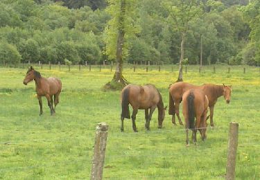
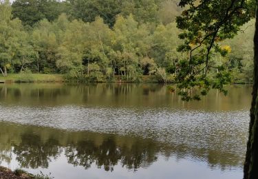
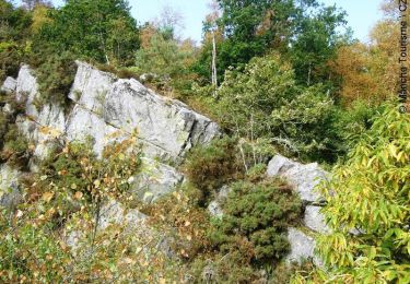
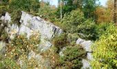
Trail Walking Saint-Georges-de-Rouelley - La Fosse Arthour - Photo
 tracegps
tracegps

User

© OpenStreetMap contributors
Length
Length
8 km
Max alt
Max alt
245 m
Uphill gradient
Uphill gradient
199 m
Km-Effort
Km-Effort  
10.7 km
Min alt
Min alt
162 m
Downhill gradient
Downhill gradient
204 m
Boucle
Boucle
Yes
Creation date :
2014-12-10 00:00:00.0
Updated on :
2014-12-10 00:00:00.0

(0 Reviews)

Walking
Walking
2h30
Difficulty : Medium

Scan this QR Code to open this trail in the SityTrail application

FREE GPS app for hiking

Logo SityTrail SityTrail

IGN / Geographical institutes

Download SityTrail from the App Store Download SityTrail from Google Play

Logo SityTrail SityTrail World

The world is yours!

Download SityTrail from the App Store Download SityTrail from Google Play Download SityTrail on Huawei AppGallery

About

Trail Walking of 8 km to be discovered at Normandy, Manche, Saint-Georges-de-Rouelley. This trail is proposed by tracegps.

Description

La Fosse Arthour – Phase Béta Au cœur du Parc naturel régional de Normandie-Maine, approchez-vous à petits pas de la Fosse Arthour, gouffre envoutant et sauvage du Mortainais. Lieu de légende, l’histoire raconte que le Roi Arthur et sa femme y vivaient séparés, seulement autorisés à se voir une fois les derniers rayons du soleil disparus. Alors qu’il décidait de franchir la Sonce, le torrent creusa un abîme profond et les engloutit. Peut-être les entendrez-vous… Plus de détails sur le circuit (balisage, difficulté…), les points remarquables à proximité et téléchargements sur Manche Tourisme – Loisirs Randonnée GPS. Géocache à proximité ! Informations sur www.manchetourisme.com rubrique « sports et activités / avec son GPS » Point de départ proposé : St Georges de Rouelley – Hameau La Prise de haut Actuellement en phase de développement, nous collectons les avis, les remarques, les propositions… Faites-nous part de vos impressions, ou laissez-nous simplement une adresse mail manchetourisme@cg50.fr

Elevation profile

Photos

Positioning

Country:
France
Region :
Normandy
Department/Province :
Manche
Municipality :
Saint-Georges-de-Rouelley
Location:
Unknown
Start:(UTM)
663370 ; 5388668 (30U) N.

Trails nearby

Trail Mountain bike Saint-Georges-de-Rouelley - la Fosse Arthour - Photo
Mountain bike
fredtruc27

Mountain bike

Difficult
Saint-Georges-de-Rouelley, Normandy, Manche, France
27 km | 33 km-effort
2h 41min
Yes
Trail Walking Saint-Georges-de-Rouelley - La fosse Arthour - Photo
Walking
nolsim

Walking

Easy
Saint-Georges-de-Rouelley, Normandy, Manche, France
8.7 km | 10.9 km-effort
2h 5min
Yes
Trail Walking Saint-Georges-de-Rouelley - Le Moulin Foulon - Saint Georges de Rouelley - Photo
Walking
tracegps

Walking

Medium
Saint-Georges-de-Rouelley, Normandy, Manche, France
7.9 km | 10.2 km-effort
2h 0min
Yes
Trail Walking Saint-Georges-de-Rouelley - Sentier Fosse Arthour - Photo
Walking
neoroll44

Walking

Medium
Saint-Georges-de-Rouelley, Normandy, Manche, France
6.2 km | 7.7 km-effort
1h 45min
Yes
Trail Walking Saint-Georges-de-Rouelley - autour de la fosse Arthour - Photo
Walking
arnaudconde

Walking

Easy
Saint-Georges-de-Rouelley, Normandy, Manche, France
11.3 km | 14 km-effort
2h 13min
Yes
Trail Walking Saint-Georges-de-Rouelley - randonnée la Fosse Arthour / Mortain par le GR 22 - Photo
Walking
mimisouge72

Walking

Medium
Saint-Georges-de-Rouelley, Normandy, Manche, France
24 km | 31 km-effort
5h 23min
No
Trail Bicycle tourism Domfront en Poiraie - SityTrail - Mayenne domfront - Photo
Bicycle tourism
Ceclm

Bicycle tourism

Medium
Domfront en Poiraie, Normandy, Orne, France
52 km | 58 km-effort
Unknown
No
Trail Walking Saint-Georges-de-Rouelley - 9058741-Fosse Arthour -Grille souris - Photo
Walking
toporient

Walking

Medium
Saint-Georges-de-Rouelley, Normandy, Manche, France
10.8 km | 13.4 km-effort
2h 46min
Yes
Trail Walking Lonlay-l'Abbaye - Lonlay.08122019 - Photo
Walking
aucamus

Walking

Very easy
Lonlay-l'Abbaye, Normandy, Orne, France
9.2 km | 10.6 km-effort
2h 29min
No


Close
My subscriptions