


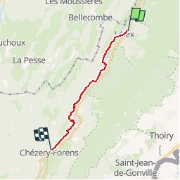

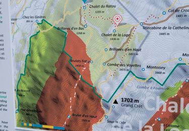
8.4 km | 12.3 km-effort

User


FREE GPS app for hiking
 SityTrail
IGN / Geographical institutes
SityTrail World
The world is yours!
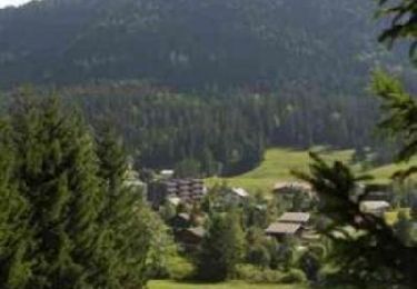
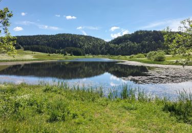
Trail Walking of 12.9 km to be discovered at Auvergne-Rhône-Alpes, Ain, Lélex. This trail is proposed by tracegps.
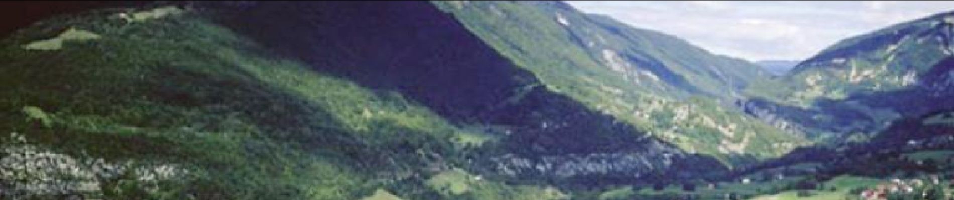
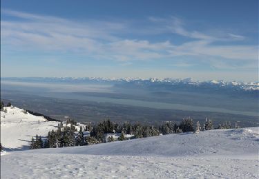
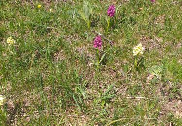
Balades en Pays de Gex. Communauté de communes du Pays de Gex - Bellegarde. En toutes saisons, entre Jura et Léman, laissez libre court à toutes vos envies de sensations fortes et de détente ! Ski de piste ou de fond dans les montagnes du Jura, randonnées pédestres sur le Balcon du Léman, VTT, parapente au coeur du Parc Naturel Régional du Haut-Jura, golf … Il y en a pour tous les goûts au Pays de Gex-Bellegarde, et pour toute la famille, pour des vacances adaptées à vos besoins.. Au fil de la Valserine. Promenade ombragée au bord de la Valserine, parfois large et inerte au milieu des platières, tantôt tumultueuse au fond de gorges inaccessibles. Les crêtes de Monts Jura offrent un panorama admirable sur le bassin du Léman et des Alpes. Le randonneur est à une altitude parfaite pour admirer les grands 4000 et les 400 km de chaînes des Alpes, de l'Oberland aux Alpes du sud en passant par le Massif du Mont Blanc ! Les paysages jurassiens typiques ne sont pas épargnés,entre vallée de la Valserine et sommets, prairies et forêts, vous irez à la rencontre d'une faune et d'une flore variées. Vous pourrez également profiter des étapes pour vous familiariser avec les traditions locales lors de visites prévues pendant le parcours. Retrouvez d’autres idées de randonnées ICI.

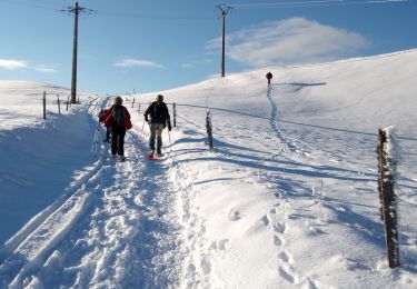
Snowshoes
Snowshoes
Mountain bike
Walking
Walking

Walking
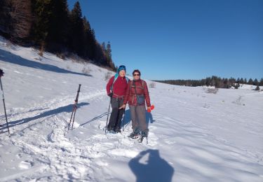
Snowshoes
Walking
Walking