


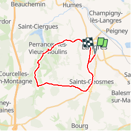

18.3 km | 22 km-effort

User


FREE GPS app for hiking
 SityTrail
IGN / Geographical institutes
SityTrail World
The world is yours!
Trail Cycle of 23 km to be discovered at Grand Est, Haute-Marne, Langres. This trail is proposed by tracegps.
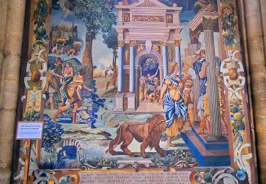
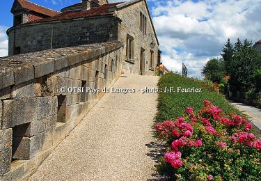
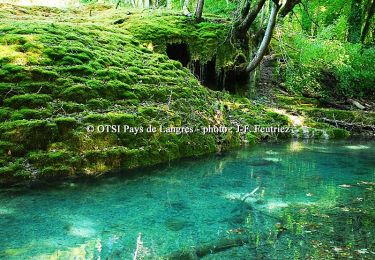
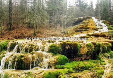
Office de Tourisme du Pays de Langres La Voie Verte vous fera profiter de cette généreuse nature aux portes même de la Ville de Langres. De la vallée de la Bonnelle aux coteaux du plateau de Langres, cette piste cyclable vous accueillera pour votre plus grand plaisir. La fiche est téléchargeable ICI Nota : Les données de l'OT du Pays de Langres sont officielles et restent la référence; toute différence dans le kilométrage provient d'un décalage de calcul entre les différents logiciels.

Walking
Walking
Walking
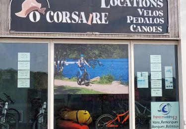
Hybrid bike

Mountain bike
Walking
Cycle
Cycle
Cycle
Pas trop de passage de voiture, fait avec un enfant de 2 ans 1/2 dans le siège bébé, parcours sympa!