


34 km | 36 km-effort


User


FREE GPS app for hiking
 SityTrail
IGN / Geographical institutes
SityTrail World
The world is yours!
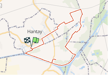
Trail Walking of 9.2 km to be discovered at Hauts-de-France, Nord, Hantay. This trail is proposed by tracegps.
Départ du parking derrière l’église de Hantay. Circuit qui rencontre une grande diversité de milieux : pâtures, bois, mares, canal, plaines agricoles. Retrouvez cette randonnée sur le site du Comité Départemental du Tourisme du Nord.


Hybrid bike

Walking

Walking

Electric bike

Walking

Walking
Cycle

Walking
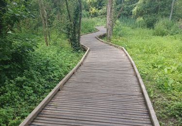
circuit bien fleché