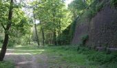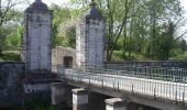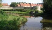

Bergues Nature et histoire

tracegps
User

Length
4.9 km

Max alt
20 m

Uphill gradient
33 m

Km-Effort
5.4 km

Min alt
-1 m

Downhill gradient
33 m
Boucle
Yes
Creation date :
2014-12-10 00:00:00.0
Updated on :
2014-12-10 00:00:00.0
1h15
Difficulty : Easy

FREE GPS app for hiking
About
Trail Walking of 4.9 km to be discovered at Hauts-de-France, Nord, Bergues. This trail is proposed by tracegps.
Description
Départ de la place de la République de Bergues. Ce circuit permet de faire le tour des remparts et des canaux. Retrouvez ce circuit sur le site du Comité Départemental du Tourisme du Nord.
Positioning
Country:
France
Region :
Hauts-de-France
Department/Province :
Nord
Municipality :
Bergues
Location:
Unknown
Start:(Dec)
Start:(UTM)
460198 ; 5646459 (31U) N.
Comments
Trails nearby
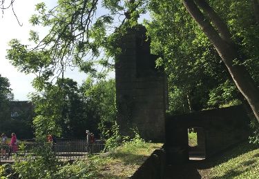
sortie Bergues 21 mai 2017


Walking
Very easy
Bergues,
Hauts-de-France,
Nord,
France

18.1 km | 19.4 km-effort
4h 23min
Yes

Bergues : Nature et Histoire


Walking
Very easy
(1)
Bergues,
Hauts-de-France,
Nord,
France

5.2 km | 5.7 km-effort
Unknown
Yes
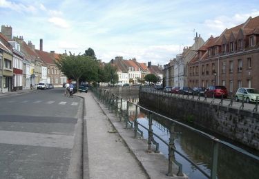
Circuit de l'Houtland intérieur - Socx


Cycle
Medium
Socx,
Hauts-de-France,
Nord,
France

32 km | 34 km-effort
1h 45min
Yes
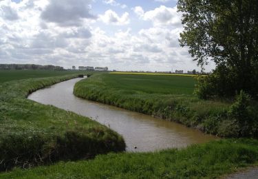
Circuit des Forts de Coukerque à Bergues - Coudekerque-Branche


Walking
Difficult
Coudekerque-Branche,
Hauts-de-France,
Nord,
France

14.4 km | 15.2 km-effort
3h 34min
Yes
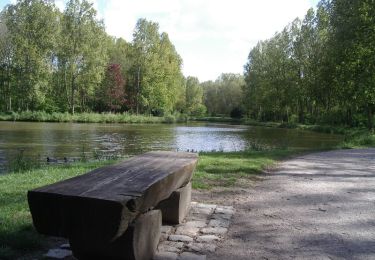
Circuit du Bois des Forts - Coudekerque


Walking
Medium
(1)
Téteghem-Coudekerque-Village,
Hauts-de-France,
Nord,
France

11.2 km | 11.9 km-effort
2h 49min
Yes
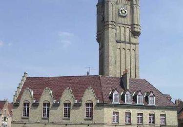
Bienvenue chez les Ch'tis ou Bergues une balade GPS de charme


Walking
Easy
Bergues,
Hauts-de-France,
Nord,
France

4.1 km | 4.5 km-effort
1h 0min
Yes
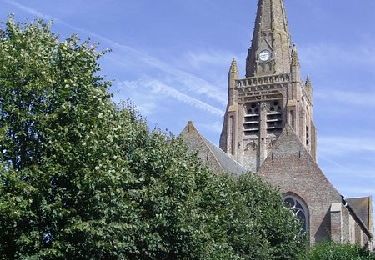
Warhem - Village Patrimoine


Walking
Easy
Warhem,
Hauts-de-France,
Nord,
France

1.5 km | 1.6 km-effort
25min
Yes

t273355040_autour de et a bergues


Walking
Very easy
Bergues,
Hauts-de-France,
Nord,
France

18.1 km | 19.4 km-effort
4h 24min
Yes


 SityTrail


