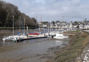
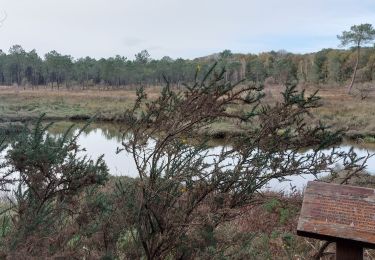
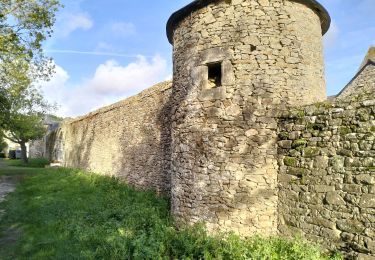
Trail Walking Crac'h - Tour du Golfe du Morbihan - 13 - Crac'h - Photo

Tour du Golfe du Morbihan - 13 - Crac'h

 tracegps
tracegps

User

© OpenStreetMap contributors
Length
Length
9.8 km
Max alt
Max alt
36 m
Uphill gradient
Uphill gradient
71 m
Km-Effort
Km-Effort  
10.8 km
Min alt
Min alt
8 m
Downhill gradient
Downhill gradient
93 m
Boucle
Boucle
No
Creation date :
2014-12-10 00:00:00.0
Updated on :
2014-12-10 00:00:00.0

(0 Reviews)

Walking
Walking
2h10
Difficulty : Medium

Scan this QR Code to open this trail in the SityTrail application

FREE GPS app for hiking

Logo SityTrail SityTrail

IGN / Geographical institutes

Download SityTrail from the App Store Download SityTrail from Google Play

Logo SityTrail SityTrail World

The world is yours!

Download SityTrail from the App Store Download SityTrail from Google Play Download SityTrail on Huawei AppGallery

About

Trail Walking of 9.8 km to be discovered at Brittany, Morbihan, Crac'h. This trail is proposed by tracegps.

Description

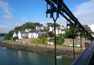
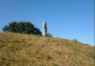
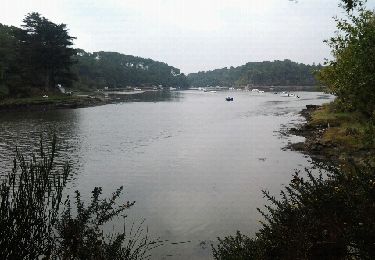
Tour du Golfe du Morbihan - 13 - Crac’h MENHIRS, DOLMENS ET BOIS DE PINS C’est à une promenade champêtre que nous invite la traversée de Crac’h. Ici le tour du golfe doit s’éloigner des côtes pour passer derrière trois grandes propriétés. Serpentant à mi-chemin entre la rivière de Crac’h et le Golfe du Morbihan, notre chemin passe à proximité de plusieurs sites mégalithiques remarquables : le dolmen de Kervin-Brigitte (près de la chapelle), ou encore, l’allée couverte du Luffang dont il ne reste que les piliers. Ce sont en fait les vestiges d’un grand cairn (ou tumulus), qui recouvrait une sépulture composée d’un couloir menant à une chambre mortuaire. De ce tombeau ne demeurent que les piliers qui supportaient les dalles de plafond, disparues depuis longtemps après avoir été débitées, sans doute comme pierres à bâtir… La suite et beaucoup d’autres informations à propos du Tour du Golfe du Morbihan sur le site Bretagne – Rando.com. Crédit photos : © T. Hair - Thomas & Thomas / Droits réservés CG 56

Elevation profile

Photos

Positioning

Country:
France
Region :
Brittany
Department/Province :
Morbihan
Municipality :
Crac'h
Location:
Unknown
Start:(UTM)
500152 ; 5278175 (30T) N.

Trails nearby

Trail Walking Le Bono - Du Bono à la Chapelle de Saint-Avoye - Photo
Walking
jeanclaude12

Walking

Easy
(1)
Le Bono, Brittany, Morbihan, France
8 km | 9.3 km-effort
2h 47min
Yes
Trail Running Ploemel - Ploemel  stirwen - Photo
Running
guizouarn

Running

Medium
(3)
Ploemel, Brittany, Morbihan, France
9 km | 10.1 km-effort
1h 40min
Yes
Trail Walking Pluneret - st Avoye - Photo
Walking
guizouarn

Walking

Medium
(2)
Pluneret, Brittany, Morbihan, France
3.2 km | 3.7 km-effort
49min
Yes
Trail Other activity Ploemel - Ty Bocquet  19-11-16 . - Photo
Other activity
guizouarn

Other activity

Very easy
(1)
Ploemel, Brittany, Morbihan, France
5.1 km | 5.5 km-effort
57min
Yes
Trail Walking Pluneret - PR_56_Pluneret_EA_06_Circuit1b_Tro-Ar-Vourch_20240227 - Photo
Walking
patrickdanilo

Walking

Very easy
Pluneret, Brittany, Morbihan, France
7.3 km | 8.2 km-effort
1h 51min
Yes
Trail Walking Auray - port saint goustan,port bono - Photo
Walking
marianne guichoux

Walking

Easy
Auray, Brittany, Morbihan, France
14.3 km | 16.5 km-effort
3h 17min
Yes
Trail Walking Pluneret - PR_56_Pluneret_AB_04_Circuit1b_Les-Deux-Rivieres_20230221 - Photo
Walking
patrickdanilo

Walking

Easy
Pluneret, Brittany, Morbihan, France
12.2 km | 13.9 km-effort
2h 52min
Yes
Trail Walking Pluneret - PR_56_Pluneret_CA_03_Circuit1b_Anse-Du-Teno_20221120 - Photo
Walking
patrickdanilo

Walking

Easy
Pluneret, Brittany, Morbihan, France
9.5 km | 10.8 km-effort
2h 19min
Yes
Trail Walking Le Bono - 56-Bono-9km - Photo
Walking
SyMA

Walking

Easy
Le Bono, Brittany, Morbihan, France
8.7 km | 10.1 km-effort
2h 40min
Yes


Close
My subscriptions