


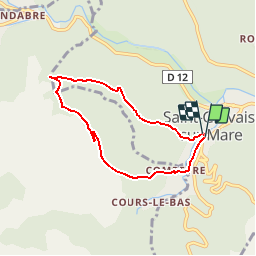

9.3 km | 14.2 km-effort


User


FREE GPS app for hiking
 SityTrail
IGN / Geographical institutes
SityTrail World
The world is yours!
Trail Walking of 6.3 km to be discovered at Occitania, Hérault, Saint-Gervais-sur-Mare. This trail is proposed by tracegps.
Source La Maison Cévenole des Arts et Traditions Populaires Saint Gervais sur Mare est situé dans le haut Hérault, aux confins du Tarn et de l'Aveyron. Le village qui se trouve à environ 350m d'altitude est entouré de sommets qui atteignent 1000 mètres et qui font la limite de partage des eaux entre les versants méditerranéen et atlantique. Circuit n°14 Courte randonnée empruntant le chemin de St Jacques de Compostelle, retour par une châtaigneraie montrant le patrimoine. Le GR653 suit le chemin des pèlerins vers St Jacques de Compostelle, par la Via Tolosana. Il part d’Arles, passe à Montpellier, Castres, Toulouse et rejoint l’Espagne par le col du Somport. C’est le plus méridional des chemins, le moins connu et fréquenté, C’est le seul qui se parcourt dans les deux sens, vers Rome et Jérusalem. L’étape précédente est Lunas à 24 km, la suivante Murat/Vèbre à 28 km. Toutes les infos sont disponibles sur les fiches téléchargeables ICI


Walking

Walking
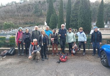
Walking

Walking

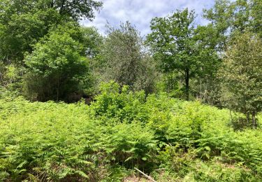
Walking
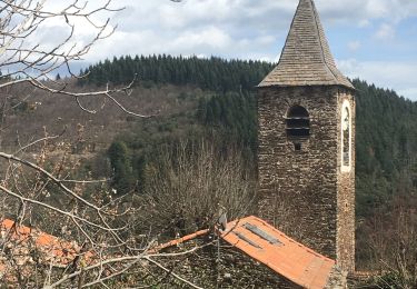
Walking

Walking

Walking