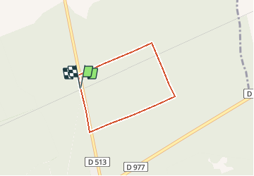

9.2 km | 9.7 km-effort

User


FREE GPS app for hiking
 SityTrail
IGN / Geographical institutes
SityTrail World
The world is yours!
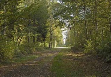
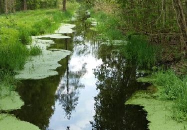
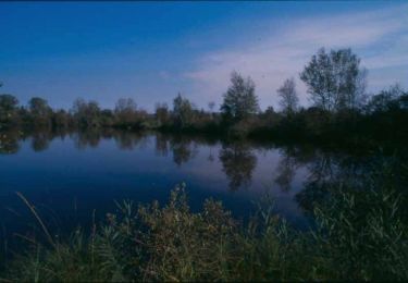
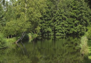
Trail Walking of 2.5 km to be discovered at Hauts-de-France, Aisne, Samoussy. This trail is proposed by tracegps.
Charlemagne participait à de grandes parties de chasse dans la forêt domaniale de Samoussy. Les promeneurs y découvriront la quiétude d'un parcours conçu pour toute la famille. Retrouvez toutes les informations nécessaires ICI


Walking
Walking
Walking
Walking

Mountain bike
Walking

Walking

Walking