

Le Pic dels Moros

tracegps
User

Length
12.1 km

Max alt
2135 m

Uphill gradient
502 m

Km-Effort
18.8 km

Min alt
1723 m

Downhill gradient
500 m
Boucle
Yes
Creation date :
2014-12-10 00:00:00.0
Updated on :
2014-12-10 00:00:00.0
5h30
Difficulty : Difficult

FREE GPS app for hiking
About
Trail Walking of 12.1 km to be discovered at Occitania, Pyrénées-Orientales, Égat. This trail is proposed by tracegps.
Description
Une randonnée en boucle vers le Pic dels Moros et le refuge de la Calma depuis Egat. D’autres informations et photos sont disponibles ICI Balade proposée par « Les Balades et Randonnées de Fred »
Positioning
Country:
France
Region :
Occitania
Department/Province :
Pyrénées-Orientales
Municipality :
Égat
Location:
Unknown
Start:(Dec)
Start:(UTM)
419330 ; 4706599 (31T) N.
Comments
Trails nearby
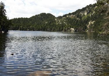
Coll del Pam lac des Bouillouses


Walking
Medium
(2)
Font-Romeu-Odeillo-Via,
Occitania,
Pyrénées-Orientales,
France

13.3 km | 19.3 km-effort
4h 10min
Yes
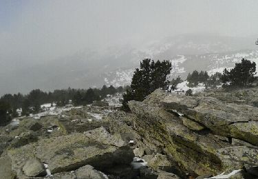
pic dels moros


Snowshoes
Medium
(1)
Font-Romeu-Odeillo-Via,
Occitania,
Pyrénées-Orientales,
France

12.6 km | 19.4 km-effort
4h 46min
Yes
Font Romeu Egat


Walking
Medium
(2)
Font-Romeu-Odeillo-Via,
Occitania,
Pyrénées-Orientales,
France

2.5 km | 3.4 km-effort
44min
Yes
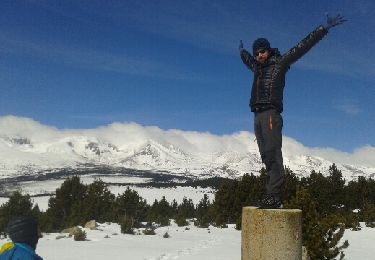
Pic dels Moros avec Pierre


Snowshoes
Medium
(1)
Font-Romeu-Odeillo-Via,
Occitania,
Pyrénées-Orientales,
France

10.5 km | 15.9 km-effort
4h 4min
Yes

Egat Puig Moro


Walking
Medium
(1)
Égat,
Occitania,
Pyrénées-Orientales,
France

13.4 km | 19.3 km-effort
4h 51min
Yes
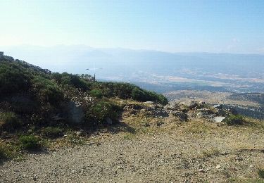
La croix d'Egat


Walking
Easy
(1)
Égat,
Occitania,
Pyrénées-Orientales,
France

7.1 km | 10.4 km-effort
2h 2min
Yes

Espace VTT FFC Pyrénées Catalanes - Circuit n° 6 - Forêt d'Egat


Mountain bike
Medium
(2)
Font-Romeu-Odeillo-Via,
Occitania,
Pyrénées-Orientales,
France

7.6 km | 10.1 km-effort
1h 0min
Yes
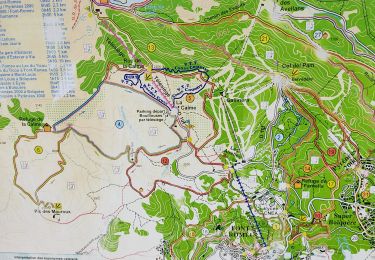
bolqueres


Walking
Very easy
(1)
Bolquère,
Occitania,
Pyrénées-Orientales,
France

3.8 km | 4.6 km-effort
1h 1min
Yes

mauroux


Nordic walking
Medium
(2)
Font-Romeu-Odeillo-Via,
Occitania,
Pyrénées-Orientales,
France

11.2 km | 14.7 km-effort
1h 20min
Yes


 SityTrail


Super
Visiblement une version hivernale, qui en été tourne à la rando pâturages - "sanglier". A noter : le départ se fait juste sous le parking, piste tracée (par au-dessus l'été avec les clôtures ça ne passe pas).