


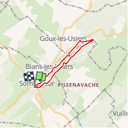


15.9 km | 20 km-effort


User


FREE GPS app for hiking
 SityTrail
IGN / Geographical institutes
SityTrail World
The world is yours!
Trail Walking of 8.7 km to be discovered at Bourgogne-Franche-Comté, Doubs, Sombacour. This trail is proposed by tracegps.
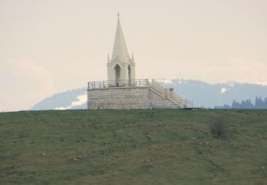
Le Doubs, réserve naturelle d’idées neuves ! Secteur géographique : Sombacour Intérêt du parcours : Environnement naturel : milieu agricole, sentier de crête, milieu forestier. Patrimoine : Chemin de croix de Sombacour, Eglise de Goux-les-Usiers A voir dans les environs : Musée-relais du cheval de trait comtois à Levier. Source de la Loue à Ornans. Belvédères de Renédale, du Moine et de Hautepierre. Ville de Pontarlier; Château de Joux

Walking
Walking
Walking

Mountain bike
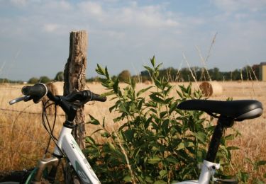
Mountain bike

Road bike

Walking
Walking
Walking