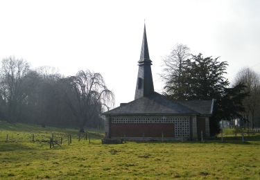
8.9 km | 10.4 km-effort
Le bois de la Faude
tracegps
User
Length
13.6 km
Max alt
131 m
Uphill gradient
213 m
Km-Effort
16.4 km
Min alt
55 m
Downhill gradient
212 m
Boucle
Yes
Creation date :
2014-12-10 00:00:00.0
Updated on :
2014-12-10 00:00:00.0
4h30
Difficulty : Difficult
FREE GPS app for hiking
About
Trail Walking of 13.6 km to be discovered at Hauts-de-France, Somme, Fontaine-le-Sec. This trail is proposed by tracegps.
Description
Aujourd'hui, les Fontenois ne craignent plus la réputation de ce bois, hanté jadis, dit-on, par une maléfique sorcière !
Positioning
Country:
France
Region :
Hauts-de-France
Department/Province :
Somme
Municipality :
Fontaine-le-Sec
Location:
Unknown
Start:(Dec)
Start:(UTM)
414623 ; 5533385 (31U) N.
Comments
Trails nearby
Le Bois de la Faude
On foot
Easy
Vergies,
Hauts-de-France,
Somme,
France
13.6 km | 16.5 km-effort
3h 45min
Yes