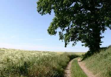
38 km | 45 km-effort
La vallée d'Enfer
tracegps
User
Length
12.3 km
Max alt
187 m
Uphill gradient
163 m
Km-Effort
14.5 km
Min alt
59 m
Downhill gradient
163 m
Boucle
Yes
Creation date :
2014-12-10 00:00:00.0
Updated on :
2014-12-10 00:00:00.0
4h00
Difficulty : Difficult
FREE GPS app for hiking
About
Trail Walking of 12.3 km to be discovered at Hauts-de-France, Somme, Belleuse. This trail is proposed by tracegps.
Description
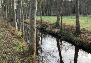
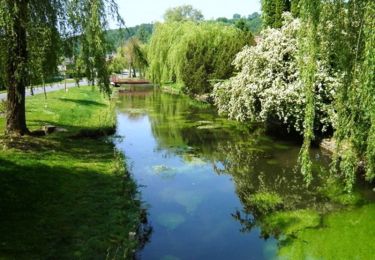
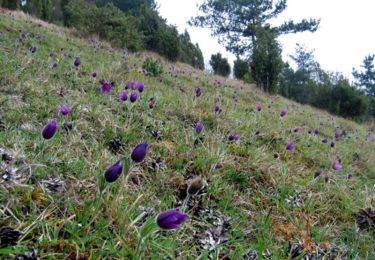
Malgré son nom, ce circuit n'a rien d'infernal. Au contraire, on raconte que le village était autrefois appelé "Bellevue".
Positioning
Country:
France
Region :
Hauts-de-France
Department/Province :
Somme
Municipality :
Belleuse
Location:
Unknown
Start:(Dec)
Start:(UTM)
436160 ; 5506367 (31U) N.
Comments
Trails nearby
La vallée des Parquets
Walking
Medium
(1)
Contre,
Hauts-de-France,
Somme,
France
12.6 km | 15 km-effort
Unknown
Yes
Les Evoissons - Conty
Cycle
Difficult
Conty,
Hauts-de-France,
Somme,
France
38 km | 44 km-effort
2h 0min
Yes
La vallée des Parquets (variante courte)
Walking
Medium
Contre,
Hauts-de-France,
Somme,
France
12.4 km | 15.1 km-effort
3h 0min
Yes
La vallée des Parquets
Walking
Difficult
Contre,
Hauts-de-France,
Somme,
France
17.7 km | 21 km-effort
6h 19min
Yes
L'esplanade - Boucle à Conty
Walking
Medium
(1)
Conty,
Hauts-de-France,
Somme,
France
7.1 km | 8.1 km-effort
2h 0min
Yes
Les monts de Velennes
Walking
Difficult
Conty,
Hauts-de-France,
Somme,
France
15.2 km | 17.7 km-effort
5h 0min
Yes
Conty (Somme)
Walking
Difficult
Conty,
Hauts-de-France,
Somme,
France
15.3 km | 17.7 km-effort
4h 1min
Yes