Trail Walking Pourchères - 07 pourcheres rocher d ajoux - Photo

07 pourcheres rocher d ajoux

 randodyssée
randodyssée

User GUIDE

© OpenStreetMap contributors
Length
Length
16.5 km
Max alt
Max alt
919 m
Uphill gradient
Uphill gradient
674 m
Km-Effort
Km-Effort  
25 km
Min alt
Min alt
518 m
Downhill gradient
Downhill gradient
677 m
Boucle
Boucle
Yes
Creation date :
2019-01-15 20:08:23.491
Updated on :
2019-05-08 15:37:45.616

(0 Reviews)

Walking
Walking
5h16
Difficulty : Very difficult

Scan this QR Code to open this trail in the SityTrail application

FREE GPS app for hiking

Logo SityTrail SityTrail

IGN / Geographical institutes

Download SityTrail from the App Store Download SityTrail from Google Play

Logo SityTrail SityTrail World

The world is yours!

Download SityTrail from the App Store Download SityTrail from Google Play Download SityTrail on Huawei AppGallery

About

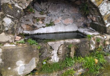
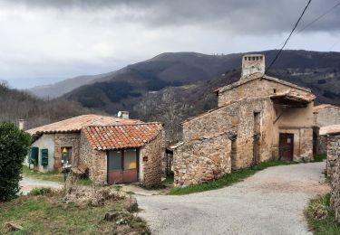
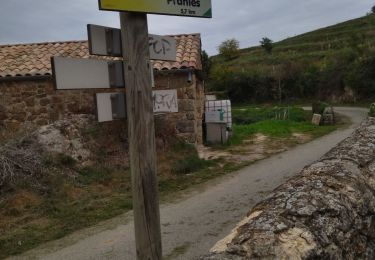
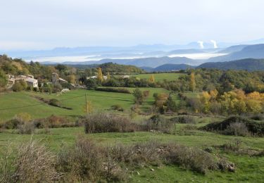
Trail Walking of 16.5 km to be discovered at Auvergne-Rhône-Alpes, Ardèche, Pourchères. This trail is proposed by randodyssée.

Description

gene betty
belle rando avec rocher d ajoux

Elevation profile

Positioning

Country:
France
Region :
Auvergne-Rhône-Alpes
Department/Province :
Ardèche
Municipality :
Pourchères
Location:
Unknown
Start:(UTM)
619251 ; 4955961 (31T) N.

Trails nearby

Trail Walking Pranles - 07 chirouze prandes - Photo
Walking
GUIDE
randodyssée

Walking

Easy
Pranles, Auvergne-Rhône-Alpes, Ardèche, France
11.3 km | 17.6 km-effort
5h 12min
No
Trail Walking Ajoux - 07 sarrasset ajoux - Photo
Walking
GUIDE
randodyssée

Walking

Medium
Ajoux, Auvergne-Rhône-Alpes, Ardèche, France
16.3 km | 25 km-effort
7h 3min
No
Trail Walking Saint-Étienne-de-Serre - 07 chier magerouan - Photo
Walking
GUIDE
randodyssée

Walking

Medium
Saint-Étienne-de-Serre, Auvergne-Rhône-Alpes, Ardèche, France
15.6 km | 26 km-effort
6h 27min
No
Trail Walking Gourdon - Col de la Fayolle - Rocher de Gourdon  - Photo
Walking
coureursdecretes

Walking

Difficult
(1)
Gourdon, Auvergne-Rhône-Alpes, Ardèche, France
12.4 km | 17.1 km-effort
5h 10min
No
Trail Walking Saint-Priest - 07 st priest roc de gourdon - Photo
Walking
GUIDE
randodyssée

Walking

Difficult
Saint-Priest, Auvergne-Rhône-Alpes, Ardèche, France
18.3 km | 29 km-effort
8h 31min
Yes
Trail Walking Pourchères - Pourcheres 14km - Photo
Walking
GUIDE
thonyc

Walking

Medium
Pourchères, Auvergne-Rhône-Alpes, Ardèche, France
14.1 km | 21 km-effort
4h 0min
Yes
Trail Walking Pranles - Le bilan des chinoises- mise à jour  - Photo
Walking
prv

Walking

Medium
Pranles, Auvergne-Rhône-Alpes, Ardèche, France
11.6 km | 18.9 km-effort
3h 9min
Yes
Trail Walking Saint-Étienne-de-Serre - St Etienne de Serre 15km - Photo
Walking
GUIDE
thonyc

Walking

Medium
Saint-Étienne-de-Serre, Auvergne-Rhône-Alpes, Ardèche, France
15 km | 24 km-effort
5h 33min
Yes
Trail Walking Creysseilles - Serre Pied de Boeuf 25/10/2019 - Photo
Walking
Isabelle07

Walking

Medium
(2)
Creysseilles, Auvergne-Rhône-Alpes, Ardèche, France
15.2 km | 23 km-effort
6h 34min
Yes


Close
My subscriptions