


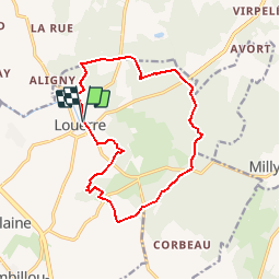

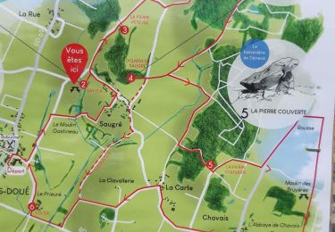
12.5 km | 14.2 km-effort

User


FREE GPS app for hiking
 SityTrail
IGN / Geographical institutes
SityTrail World
The world is yours!
Trail Walking of 13.6 km to be discovered at Pays de la Loire, Maine-et-Loire, Tuffalun. This trail is proposed by tracegps.
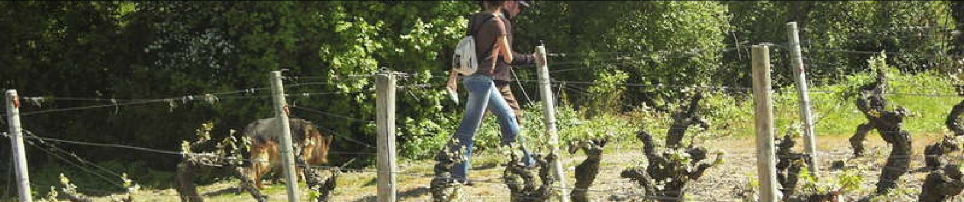
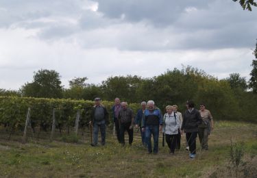
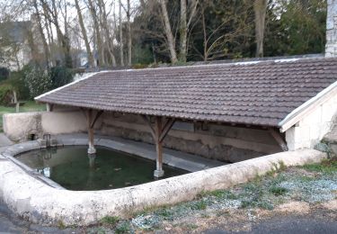
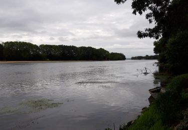
Balade entre plaine et forêt - d'où le nom de la commune "terra de loria", terre à l'orée du bois. A l'époque, le sous sol est creusé pour y aménager de multiples caves d'habitation, mais aussi pour en extraire le tuffeau.

On foot
Walking
Walking
Hybrid bike
Walking
Walking
Walking

Walking
Walking