


4 km | 4.4 km-effort


User


FREE GPS app for hiking
 SityTrail
IGN / Geographical institutes
SityTrail World
The world is yours!
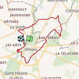
Trail Walking of 15.9 km to be discovered at Pays de la Loire, Maine-et-Loire, Lys-Haut-Layon. This trail is proposed by tracegps.
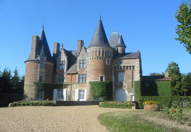
Attention! Tronçons inondés en période de hautes eaux. Cette boucle autour de Vihiers, grosse agglomération entre Layon et Mauges, vous entrainera dans le bocage, les bords du Lys et la forêt. Du château de Maupassant, arrêtez-vous près de la loge en Brande, franchissez le Lys par le Pont fondu et tentez d'approcher au plus près le château de Tirpoil.


On foot

On foot
On foot

Walking

On foot

Walking
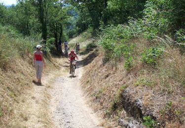
Mountain bike

Walking
Walking