


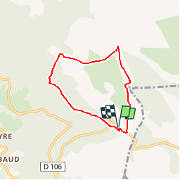


9.5 km | 13.3 km-effort


User


FREE GPS app for hiking
 SityTrail
IGN / Geographical institutes
SityTrail World
The world is yours!
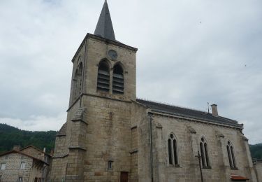
Trail Walking of 5.7 km to be discovered at Auvergne-Rhône-Alpes, Puy-de-Dôme, Valcivières. This trail is proposed by claudartaud.
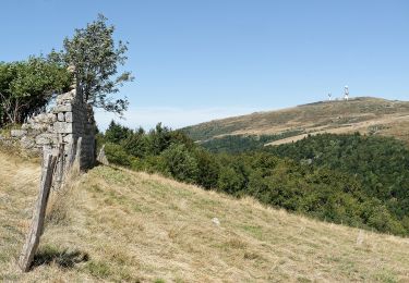
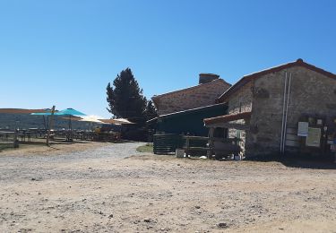
Traversée de bois de feuillus et des Hautes Chaumes. Visite de jasserie, vue sur la Chaîne des Puys (Sancy et Puy de Dôme) et sur les Alpes (Mont Blanc)

Walking

Walking

On foot

On foot
On foot

Equestrian
Walking

Walking
On foot