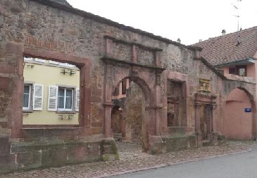
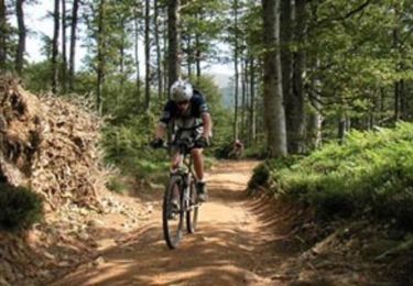
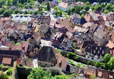
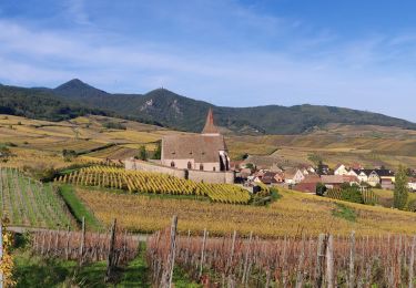
Trail Walking Ammerschwihr - Autour de Trois - Epis - Photo

Autour de Trois - Epis

 tracegps
tracegps

User

© OpenStreetMap contributors
Length
Length
10.7 km
Max alt
Max alt
720 m
Uphill gradient
Uphill gradient
415 m
Km-Effort
Km-Effort  
16.2 km
Min alt
Min alt
451 m
Downhill gradient
Downhill gradient
407 m
Boucle
Boucle
Yes
Creation date :
2014-12-10 00:00:00.0
Updated on :
2014-12-10 00:00:00.0

(2 Reviews)

Walking
Walking
3h00
Difficulty : Medium

Scan this QR Code to open this trail in the SityTrail application

FREE GPS app for hiking

Logo SityTrail SityTrail

IGN / Geographical institutes

Download SityTrail from the App Store Download SityTrail from Google Play

Logo SityTrail SityTrail World

The world is yours!

Download SityTrail from the App Store Download SityTrail from Google Play Download SityTrail on Huawei AppGallery

About

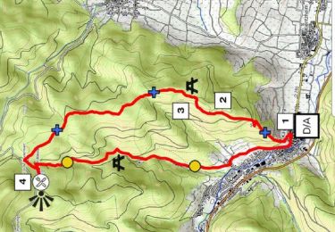
Trail Walking of 10.7 km to be discovered at Grand Est, Haut-Rhin, Ammerschwihr. This trail is proposed by tracegps.

Description

Perchés au coeur de l'Alsace à 660 m d'altitude, au milieu de forêts accueillantes, les Trois Epis bénéficient d'un micro climat fort agréable. Située à 12 Km de Colmar, la station se présente comme un lieu d'excursion par excellence, s'ouvrant sur la plaine d'Alsace les Hautes-Vosges, la Suisse et l'Allemagne. Les Trois-Épis est un hameau partagé entre les communes d'Ammerschwihr, Turckheim et Niedermorschwihr. Le lieudit tire son nom d'une prétendue apparition de la Vierge à un forgeron d'Orbey nommé Thierry Schoeré. Elle aurait tenu trois épis de blé d'une main et un grêlon de l'autre, suggérant que la piété serait source de bonnes récoltes. C'est un lieu de pèlerinage mais aussi un centre de cure de repos et d'altitude : la MGEN y a installé une maison de convalescence. L'église Notre-Dame-de-l'Annonciation, construite en béton brut avec fausse voûte en lamellé-collé et murs partiellement en dalles de verre, date de 1968. Elle est l'œuvre des architectes Pierre Keller et Pierre Dumas. La flèche formée de trois piliers symbolisant les trois épis a été érigée en 1991 à côté de l'église, selon le projet de l'architecte Prioleau. Départ : Centre du village Les Trois Epis.

Elevation profile

Photos

Positioning

Country:
France
Region :
Grand Est
Department/Province :
Haut-Rhin
Municipality :
Ammerschwihr
Location:
Unknown
Start:(UTM)
368279 ; 5329080 (32U) N.

Comments

Please log in to post a review or rate the element


Randonnée en forêt - quelques belles vues - sans plus


Très belle promenade. Sans difficultés particulières en dehors de quelques imprécisions sur la deuxième partie.


Trails nearby

Trail Walking Ammerschwihr - D'Ammerschwihr aux Trois Epis - Photo
Walking
VacheKiri67

Walking

Difficult
(1)
Ammerschwihr, Grand Est, Haut-Rhin, France
17.1 km | 25 km-effort
5h 35min
Yes
Trail Walking Ammerschwihr - Trois Épis le rocher du corbeau  - Photo
Walking
zazie

Walking

Easy
(2)
Ammerschwihr, Grand Est, Haut-Rhin, France
4.4 km | 5.7 km-effort
59min
Yes
Trail Mountain bike Labaroche - Tour de Labaroche - Photo
Mountain bike
tracegps

Mountain bike

Medium
(1)
Labaroche, Grand Est, Haut-Rhin, France
23 km | 31 km-effort
3h 30min
Yes
Trail Walking Lapoutroie - 2012-06-16 Marche aux Alisiers Orbey - Photo
Walking
GUIDE
holtzv

Walking

Easy
(2)
Lapoutroie, Grand Est, Haut-Rhin, France
11.1 km | 16.6 km-effort
2h 49min
Yes
Trail Walking Kaysersberg-Vignoble - 2021-05-30 Marche Kaysersberg Ursprung St Alexis - Photo
Walking
GUIDE
holtzv

Walking

Very difficult
Kaysersberg-Vignoble, Grand Est, Haut-Rhin, France
17.1 km | 26 km-effort
4h 46min
Yes
Trail Horseback riding Kaysersberg-Vignoble - 2019-10-26 CDTE67 Tournage Video Promotion TE - Photo
Horseback riding
GUIDE
holtzv

Horseback riding

Easy
Kaysersberg-Vignoble, Grand Est, Haut-Rhin, France
24 km | 29 km-effort
24min
No
Trail Mountain bike Wintzenheim - Wintzenheim - Le Stauffen - Col de Marbach - Soultzbach - Photo
Mountain bike
sit68000

Mountain bike

Medium
(1)
Wintzenheim, Grand Est, Haut-Rhin, France
23 km | 31 km-effort
2h 4min
Yes
Trail Walking Wintzenheim - Château de Pflixbourg depuis Saint Gilles - Photo
Walking
sit68000

Walking

Easy
(1)
Wintzenheim, Grand Est, Haut-Rhin, France
3.7 km | 6.2 km-effort
1h 21min
Yes
Trail Walking Kaysersberg-Vignoble - De Kaysersberg à l'auberge St Alexis - Photo
Walking
GUIDE
mumu.larandonneuse

Walking

Difficult
Kaysersberg-Vignoble, Grand Est, Haut-Rhin, France
11.9 km | 18.8 km-effort
4h 15min
Yes


Close
My subscriptions