Trail Walking CHENECEY-BUILLON - Au-dessus du Grand Méandre de la Loue - Photo

Au-dessus du Grand Méandre de la Loue

 tracegps
tracegps

User

© OpenStreetMap contributors
Length
Length
7.6 km
Max alt
Max alt
458 m
Uphill gradient
Uphill gradient
240 m
Km-Effort
Km-Effort  
10.8 km
Min alt
Min alt
276 m
Downhill gradient
Downhill gradient
240 m
Boucle
Boucle
Yes
Creation date :
2014-12-10 00:00:00.0
Updated on :
2014-12-10 00:00:00.0

(0 Reviews)

Walking
Walking
2h30
Difficulty : Medium

Scan this QR Code to open this trail in the SityTrail application

FREE GPS app for hiking

Logo SityTrail SityTrail

IGN / Geographical institutes

Download SityTrail from the App Store Download SityTrail from Google Play

Logo SityTrail SityTrail World

The world is yours!

Download SityTrail from the App Store Download SityTrail from Google Play Download SityTrail on Huawei AppGallery

About

Trail Walking of 7.6 km to be discovered at Bourgogne-Franche-Comté, Doubs. This trail is proposed by tracegps.

Description

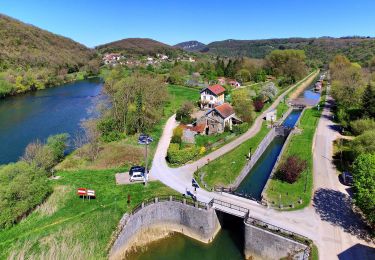
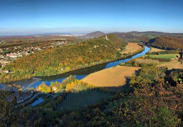
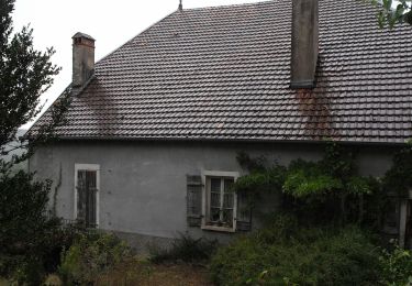
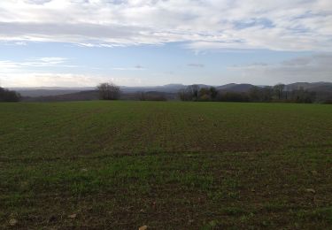
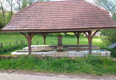
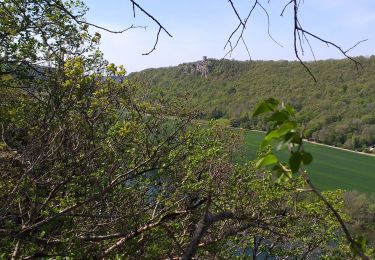
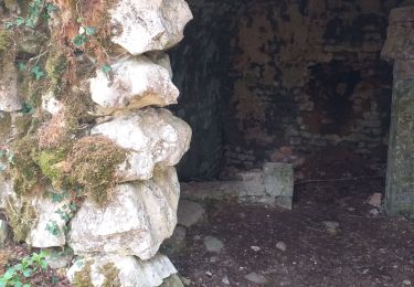
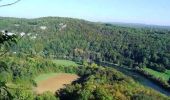
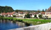
Prudence aux abords directs des ruines du château - chutes de pierres, trous, précipice ! Charmante petite randonnée au départ de l'accueillant village de Chenecey-Buillon où l'on y découvre les mystérieuses ruines du château de Charencey surplombant le Grand Méandre formé par la Loue. La balade se poursuit par un bois sombre contrastant avec la lumière des belles pâtures au-dessus de Charnay où trône un beau tilleul au bord du chemin. La suite avec d’autres informations et photos est ICI

Elevation profile

Photos

Positioning

Country:
France
Region :
Bourgogne-Franche-Comté
Department/Province :
Doubs
Municipality :
CHENECEY-BUILLON
Location:
Unknown
Start:(UTM)
724288 ; 5224883 (31T) N.

Trails nearby

Trail On foot Busy - Sentier de la Pierre de Vorges - Photo
On foot
GUIDE+

On foot

Easy
Busy, Bourgogne-Franche-Comté, Doubs, France
7.2 km | 9.4 km-effort
2h 8min
Yes
Trail On foot Vorges-les-Pins - Sentier des Crêtes - Photo
On foot
GUIDE+

On foot

Easy
Vorges-les-Pins, Bourgogne-Franche-Comté, Doubs, France
4.2 km | 6.1 km-effort
1h 23min
Yes
Trail On foot Boussières - Sentier du Ruisseau - Photo
On foot
GUIDE+

On foot

Easy
Boussières, Bourgogne-Franche-Comté, Doubs, France
9.3 km | 12.5 km-effort
2h 49min
Yes
Trail On foot Montferrand-le-Château - Sentier de Crête et Bois Rapin - Photo
On foot
GUIDE+

On foot

Easy
(1)
Montferrand-le-Château, Bourgogne-Franche-Comté, Doubs, France
10.1 km | 14.1 km-effort
3h 11min
Yes
Trail On foot Thoraise - Sentier de Notre Dame du Mont - Photo
On foot
GUIDE+

On foot

Easy
Thoraise, Bourgogne-Franche-Comté, Doubs, France
5.2 km | 7.7 km-effort
1h 44min
Yes
Trail Walking Pugey - pugey vierge comice arguel - Photo
Walking
eltonnermou

Walking

Medium
Pugey, Bourgogne-Franche-Comté, Doubs, France
15.9 km | 21 km-effort
3h 6min
Yes
Trail Walking Boussières - Boussières crête  - Photo
Walking
eltonnermou

Walking

Easy
(1)
Boussières, Bourgogne-Franche-Comté, Doubs, France
12.3 km | 16.7 km-effort
2h 27min
Yes
Trail Walking Busy - Busy Vierge du mont - Photo
Walking
eltonnermou

Walking

Easy
(1)
Busy, Bourgogne-Franche-Comté, Doubs, France
16.5 km | 23 km-effort
2h 57min
Yes
Trail Walking Charnay - charnay - Photo
Walking
eltonnermou

Walking

Very easy
Charnay, Bourgogne-Franche-Comté, Doubs, France
8.1 km | 11.7 km-effort
2h 29min
Yes


Close
My subscriptions