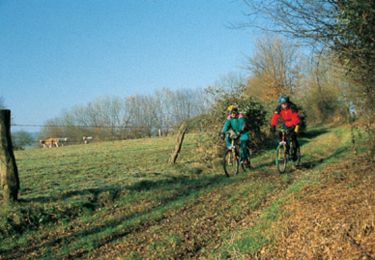
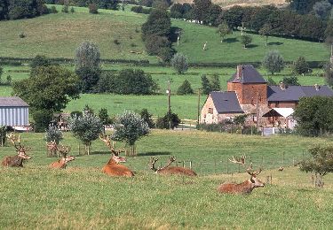
13 km | 14.2 km-effort
Axe vert de Thiérache 3
tracegps
User
Length
15.1 km
Max alt
207 m
Uphill gradient
154 m
Km-Effort
17 km
Min alt
122 m
Downhill gradient
90 m
Boucle
No
Creation date :
2014-12-10 00:00:00.0
Updated on :
2014-12-10 00:00:00.0
4h30
Difficulty : Difficult
FREE GPS app for hiking
About
Trail Walking of 15.1 km to be discovered at Hauts-de-France, Aisne, Étréaupont. This trail is proposed by tracegps.
Description
La troisième étape de cette sortie week-end. Toutes les infos sont ICI
Positioning
Country:
France
Region :
Hauts-de-France
Department/Province :
Aisne
Municipality :
Étréaupont
Location:
Unknown
Start:(Dec)
Start:(UTM)
565589 ; 5528639 (31U) N.
Comments
Trails nearby
Le bocage à VTT
Mountain bike
Medium
Lerzy,
Hauts-de-France,
Aisne,
France
17.7 km | 22 km-effort
4h 0min
Yes
Le bocage
Walking
Very difficult
Lerzy,
Hauts-de-France,
Aisne,
France
17.7 km | 22 km-effort
5h 30min
Yes
vers GUISE
Electric bike
Very easy
Étréaupont,
Hauts-de-France,
Aisne,
France
29 km | 32 km-effort
Unknown
No
LE PAVE MARLY RETOUR ETREAUPONT
Electric bike
Very easy
Étréaupont,
Hauts-de-France,
Aisne,
France
26 km | 29 km-effort
Unknown
Yes
La chouette et le bocage
Walking
Medium
Sorbais,
Hauts-de-France,
Aisne,
France
7.9 km | 9.6 km-effort
2h 30min
Yes
Le bocage - variante
Walking
Very difficult
Lerzy,
Hauts-de-France,
Aisne,
France
20 km | 25 km-effort
6h 15min
Yes
canoë Scouts 2018
Canoe - kayak
Very easy
Étréaupont,
Hauts-de-France,
Aisne,
France
17.7 km | 18.9 km-effort
6h 42min
No
etraupont
Horseback riding
Easy
Étréaupont,
Hauts-de-France,
Aisne,
France
560 m | 630 m-effort
50min
No