


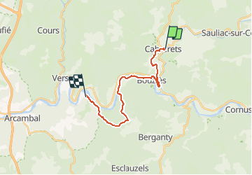

17.7 km | 24 km-effort

User


FREE GPS app for hiking
 SityTrail
IGN / Geographical institutes
SityTrail World
The world is yours!
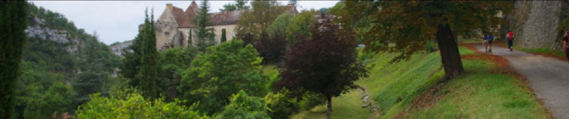
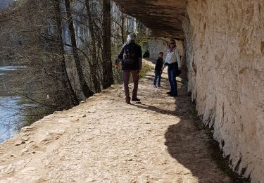
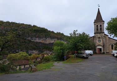
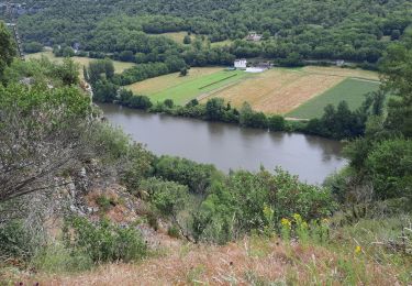
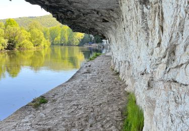
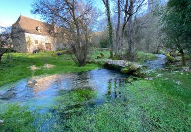
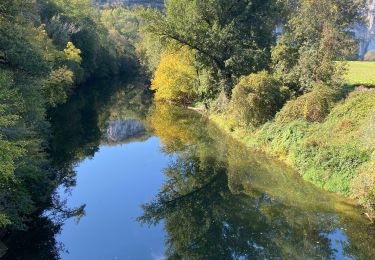
Trail Walking of 18 km to be discovered at Occitania, Lot, Cabrerets. This trail is proposed by tracegps.
Seizième étape de notre Chemin de Compostelle qui nous mène de Cabreret à Pasturat. (Km 315,698 à Km 333,882) D’autres informations et photos sur le Chemin de Compostelle sont disponibles ICI Balade proposée par « Les Balades et Randonnées de Fred »


Walking
Walking
Walking

Walking
Walking


sport
sport
Walking
Walking