


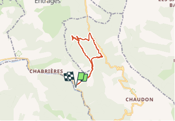


13.1 km | 22 km-effort


User GUIDE


FREE GPS app for hiking
 SityTrail
IGN / Geographical institutes
SityTrail World
The world is yours!
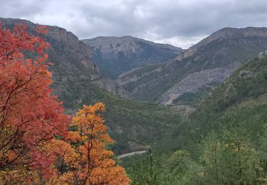
Trail Walking of 12.8 km to be discovered at Provence-Alpes-Côte d'Azur, Alpes-de-Haute-Provence, Chaudon-Norante. This trail is proposed by RobinMicheline.
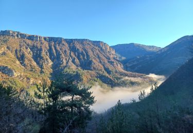
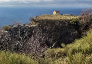
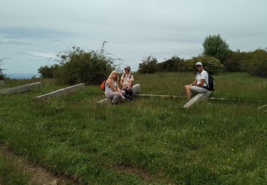
Belle randonnée de 5 h de marché plein de sentiers ombragés de l eau de partout très agréable à refaire 280 mns 13 kms 600 m denivel
Walking

Walking

Walking
Walking
Walking

Walking
Walking
Walking
On foot