


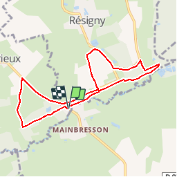

13 km | 14.9 km-effort


User


FREE GPS app for hiking
 SityTrail
IGN / Geographical institutes
SityTrail World
The world is yours!
Trail Walking of 7.6 km to be discovered at Hauts-de-France, Aisne, Résigny. This trail is proposed by tracegps.
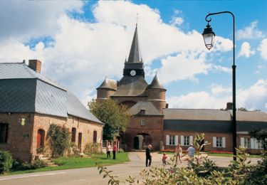
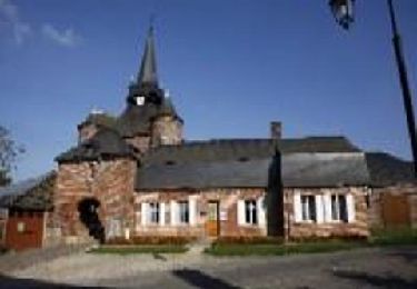
Les anciennes voies ferroviaires, autrefois rythmées par les sifflets des machines à vapeur, sont devenues des traverses buissonnières s'égrènant au fil de stations bucoliques qui résonnent aux noms de bocages, bosquets, bois, praipries et zones humides. Toutes les infos sont ICI

Walking

Walking
Walking