![](/images/other/stat-length.png)
![Trail Equestrian Iffendic - Témelin - Paimpont - Equibreizh - Photo](https://media.geolcdn.com/t/1900/400/ext.pjpeg?maxdim=2&url=https%3A%2F%2Fservices.sitytrail.com%2FGeolivesWS%2FDownloadMedia.ashx%3FTrailID%3D108658%26Media%3D1687_1.jpg)
Témelin - Paimpont - Equibreizh
tracegps
User
![Length](/images/other/stat-length.png)
![Max alt](https://static1.geolcdn.com/siteimages/upload/files/1508320355ic_sort_altitude_max_24dp.png)
![Uphill gradient](https://static1.geolcdn.com/siteimages/upload/files/1508320355ic_sort_den_pos_24dp.png)
![Km-Effort](/images/other/stat-length.png)
![Min alt](https://static1.geolcdn.com/siteimages/upload/files/1508320355ic_sort_altitude_min_24dp.png)
![Downhill gradient](https://static1.geolcdn.com/siteimages/upload/files/1508320355ic_sort_den_neg_24dp.png)
![Boucle](https://static1.geolcdn.com/siteimages/upload/files/16400158638029165_repeat_loop_refresh_sync_direction_icon.png)
![Equestrian](https://static1.geolcdn.com/sitytour/trail-icons/300.png)
4h00
Difficulty : Very difficult
![Scan this QR Code to open this trail in the SityTrail application](https://capi.geolives.com/qq0zvz2zws4bq2lad0pu/sitytour/trails/108658/qr.png?size=200)
FREE GPS app for hiking
About
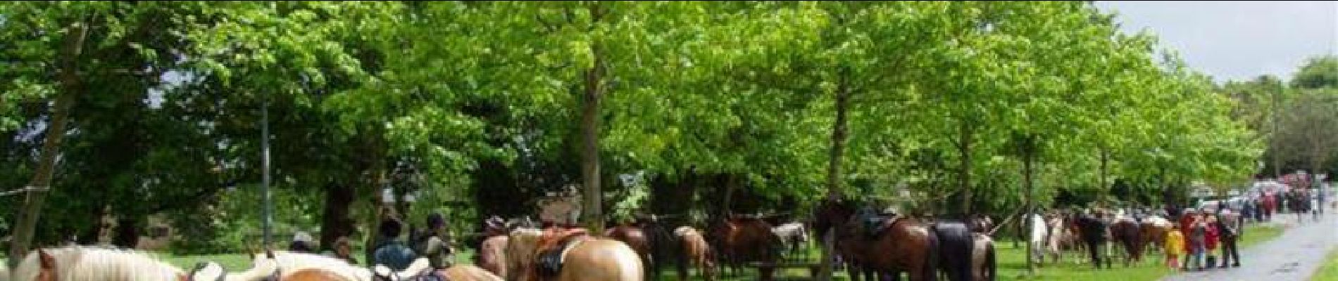
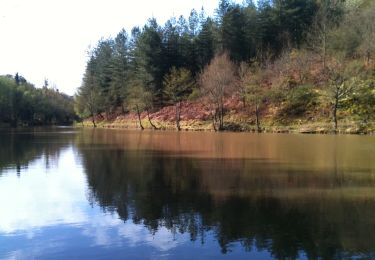
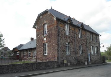
Trail Equestrian of 40 km to be discovered at Brittany, Ille-et-Vilaine, Iffendic. This trail is proposed by tracegps.
Description
Balade présentée par l’Association des Amis du Cheval d'Ille et Vilaine D’autres informations sont disponibles sur le site de l’Equibreizh L’utilisation de ce tracé reste de la responsabilité des randonneurs équestres, c'est-à-dire qu'il appartient à ceux-ci de vérifier qu'au moment de leur utilisation, les circuits sont toujours corrects même si nous veillons à ce qu'ils le soient en permanence, et de plus notre responsabilité ne serait pas engagée si l'un des circuits était non praticable ou bouché, ou si l'utilisation était différente de celle que nous avons validée, à savoir équestre.
Positioning
Comments
Trails nearby
![Trail Walking Saint-Malon-sur-Mel - La basse forêt de Brocéliande - Photo](https://media.geolcdn.com/t/375/260/ext.jpg?maxdim=2&url=https%3A%2F%2Fservices.sitytrail.com%2FGeolivesWS%2FDownloadMedia.ashx%3FTrailID%3D458145%26Media%3De16bfbe7-05f3-43ba-ba9f-9194ec61cb1f.jpg)
![Walking Walking](https://static1.geolcdn.com/sitytour/trail-icons/101.png)
Walking
![](/images/other/stat-length.png)
![](https://static1.geolcdn.com/siteimages/upload/files/16400158638029165_repeat_loop_refresh_sync_direction_icon.png)
![Trail On foot Saint-Malon-sur-Mel - A la mémoire de Merlin - Photo](https://media.geolcdn.com/t/375/260/3e917ca0-da1e-497f-8d6c-37f728fd979e.jpeg&format=jpg&maxdim=2)
![On foot On foot](https://static1.geolcdn.com/sitytour/trail-icons/100.png)
On foot
![](/images/other/stat-length.png)
![](https://static1.geolcdn.com/siteimages/upload/files/16400158638029165_repeat_loop_refresh_sync_direction_icon.png)
![Trail On foot Iffendic - Lac et landiers de Trémelin - Photo](https://media.geolcdn.com/t/375/260/7ac840cd-e5f1-4d8d-95cf-07084d9e8f75.jpeg&format=jpg&maxdim=2)
![On foot On foot](https://static1.geolcdn.com/sitytour/trail-icons/100.png)
On foot
![](/images/other/stat-length.png)
![](https://static1.geolcdn.com/siteimages/upload/files/16400158638029165_repeat_loop_refresh_sync_direction_icon.png)
![Trail On foot Iffendic - La Pierre Longue - Photo](https://media.geolcdn.com/t/375/260/8b094444-c6e7-42e6-b27a-c82fe025f95f.jpeg&format=jpg&maxdim=2)
![On foot On foot](https://static1.geolcdn.com/sitytour/trail-icons/100.png)
On foot
![](/images/other/stat-length.png)
![](https://static1.geolcdn.com/siteimages/upload/files/16400158638029165_repeat_loop_refresh_sync_direction_icon.png)
![Trail On foot Iffendic - Le Tour du Lac de Trémelin - Photo](https://media.geolcdn.com/t/375/260/b24516e3-87a2-4631-bc74-5cefab2c06d9.jpeg&format=jpg&maxdim=2)
![On foot On foot](https://static1.geolcdn.com/sitytour/trail-icons/100.png)
On foot
![](/images/other/stat-length.png)
![](https://static1.geolcdn.com/siteimages/upload/files/16400158638029165_repeat_loop_refresh_sync_direction_icon.png)
![Trail Walking Saint-Malon-sur-Mel - Merlin 12.8 ip - Photo](https://media.geolcdn.com/t/375/260/bc8739f9-6946-43d1-8004-0707e39cd3bc.jpg&format=jpg&maxdim=2)
![Walking Walking](https://static1.geolcdn.com/sitytour/trail-icons/101.png)
Walking
![](/images/other/stat-length.png)
![](https://static1.geolcdn.com/siteimages/upload/files/16400158638029165_repeat_loop_refresh_sync_direction_icon.png)
![Trail Walking Iffendic - GR_37_CC_37_Iffendic_Plelan-le-Grand_20220821 - Photo](https://media.geolcdn.com/t/375/260/a461a4e2-f121-4384-a36b-7fa282322953.jpg&format=jpg&maxdim=2)
![Walking Walking](https://static1.geolcdn.com/sitytour/trail-icons/101.png)
Walking
![](/images/other/stat-length.png)
![](https://static1.geolcdn.com/siteimages/upload/files/16400158638029165_repeat_loop_refresh_sync_direction_icon.png)
![Trail On foot Saint-Gonlay - Circuit de Lorinou - Photo](https://media.geolcdn.com/t/375/260/6659771c-e661-47f3-8cb5-3a3f13080ca5.jpeg&format=jpg&maxdim=2)
![On foot On foot](https://static1.geolcdn.com/sitytour/trail-icons/100.png)
On foot
![](/images/other/stat-length.png)
![](https://static1.geolcdn.com/siteimages/upload/files/16400158638029165_repeat_loop_refresh_sync_direction_icon.png)
![Trail On foot Saint-Gonlay - Chemin des Moulins - Photo](https://media.geolcdn.com/t/375/260/bc01016c-afeb-4a6c-a5c1-892106093006.jpeg&format=jpg&maxdim=2)
![On foot On foot](https://static1.geolcdn.com/sitytour/trail-icons/100.png)
On foot
![](/images/other/stat-length.png)
![](https://static1.geolcdn.com/siteimages/upload/files/16400158638029165_repeat_loop_refresh_sync_direction_icon.png)