


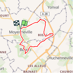

13.9 km | 16.4 km-effort


User


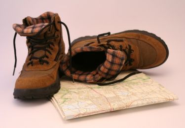
FREE GPS app for hiking
 SityTrail
IGN / Geographical institutes
SityTrail World
The world is yours!
Trail Walking of 10.4 km to be discovered at Hauts-de-France, Somme, Moyenneville. This trail is proposed by tracegps.
Une promenade bucolique dans des espaces champêtres, vallonnés et boisés, à l’habitat traditionnel. Pour télécharger la fiche du circuit en format pdf. Partez à la découverte de la Côte Picarde et de la Baie de Somme à travers 38 promenades et randonnées pédestres.

Walking

Walking

Walking

Road bike


On foot

On foot
On foot
Walking