


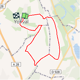

13.9 km | 16.4 km-effort


User


FREE GPS app for hiking
 SityTrail
IGN / Geographical institutes
SityTrail World
The world is yours!
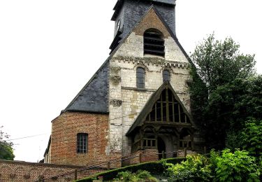
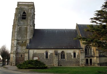
Trail Walking of 7.5 km to be discovered at Hauts-de-France, Somme, Yonval. This trail is proposed by tracegps.
Une balade empreinte d’histoire, offrant des vues splendides sur la vallée de la Somme et la campagne environnante. Pour télécharger la fiche du circuit en format pdf. Partez à la découverte de la Côte Picarde et de la Baie de Somme à travers 38 promenades et randonnées pédestres.

Walking
Walking

Cycle

Walking
Walking
On foot
On foot
On foot
Walking
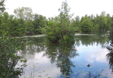
très belle rando, attention balisages de plusieurs circuits. à éviter par temps de pluie une grande descente abrupte en terre glissante
Passage difficile à la fin.