Trail Walking Blangy-Tronville - Le grand marais de la queue à Blangy-Tronville - Photo

Le grand marais de la queue à Blangy-Tronville

 tracegps
tracegps

User

© OpenStreetMap contributors
Length
Length
2.8 km
Max alt
Max alt
30 m
Uphill gradient
Uphill gradient
13 m
Km-Effort
Km-Effort  
3 km
Min alt
Min alt
24 m
Downhill gradient
Downhill gradient
13 m
Boucle
Boucle
Yes
Creation date :
2014-12-10 00:00:00.0
Updated on :
2014-12-10 00:00:00.0

(0 Reviews)

Walking
Walking
45m
Difficulty : Easy

Scan this QR Code to open this trail in the SityTrail application

FREE GPS app for hiking

Logo SityTrail SityTrail

IGN / Geographical institutes

Download SityTrail from the App Store Download SityTrail from Google Play

Logo SityTrail SityTrail World

The world is yours!

Download SityTrail from the App Store Download SityTrail from Google Play Download SityTrail on Huawei AppGallery

About

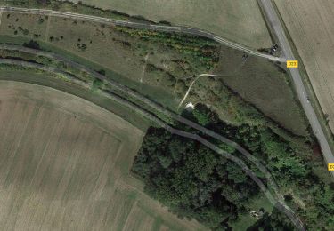
Trail Walking of 2.8 km to be discovered at Hauts-de-France, Somme, Blangy-Tronville. This trail is proposed by tracegps.

Description

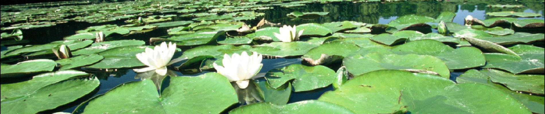
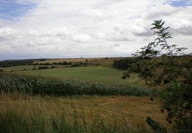
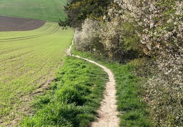
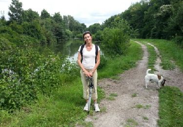
A proximité d'Amiens, ce marais offre au curieux une extraordinaire palette naturelle. Cette ancienne tourbière est aujourd'hui composée d'espaces boisés, de marais et d'étangs où la faune et la flore s'épanouissent. Munissez vous de jumelles pour l'observation, empruntez le sentier de découverte et laissez vous séduire par Dame Nature. Pour télécharger la fiche du circuit en format pdf. Partez à la découverte des sites naturels les plus remarquables du département de la Somme à travers 14 promenades pédestres.

Elevation profile

Photos

Positioning

Country:
France
Region :
Hauts-de-France
Department/Province :
Somme
Municipality :
Blangy-Tronville
Location:
Unknown
Start:(UTM)
458570 ; 5525495 (31U) N.

Trails nearby

Trail Walking Boves - 20190606-Boves - Photo
Walking
doudet

Walking

Medium
(1)
Boves, Hauts-de-France, Somme, France
24 km | 28 km-effort
6h 31min
Yes
Trail On foot Daours - Le Passage aux Loups - Photo
On foot
GUIDE+

On foot

Easy
Daours, Hauts-de-France, Somme, France
13.9 km | 15.9 km-effort
3h 36min
Yes
Trail On foot Boves - Sainte-Ulphe - Photo
On foot
GUIDE+

On foot

Easy
Boves, Hauts-de-France, Somme, France
12.3 km | 14.2 km-effort
3h 13min
Yes
Trail Quad Cachy - quad cachy - Photo
Quad
Eric Bottin

Quad

Easy
(1)
Cachy, Hauts-de-France, Somme, France
64 km | 74 km-effort
3h 57min
Yes
Trail Motor Boves - longueau  circuit 1 eric - Photo
Motor
eric80330

Motor

Medium
(1)
Boves, Hauts-de-France, Somme, France
51 km | 61 km-effort
3h 0min
Yes
Trail Walking Boves - BOVES - Photo
Walking
jpblimond

Walking

Medium
Boves, Hauts-de-France, Somme, France
22 km | 25 km-effort
5h 3min
Yes
Trail Walking Camon - bords somme Camon - Photo
Walking
sulcata80

Walking

Very easy
Camon, Hauts-de-France, Somme, France
6.6 km | 7 km-effort
1h 35min
Yes
Trail Walking Blangy-Tronville - Blangy-Amiens - Photo
Walking
Cheyenne80

Walking

Medium
Blangy-Tronville, Hauts-de-France, Somme, France
10.8 km | 11.6 km-effort
2h 34min
No
Trail Walking Boves - la fosse a chats - Photo
Walking
Cheyenne80

Walking

Medium
Boves, Hauts-de-France, Somme, France
12.4 km | 14.6 km-effort
3h 12min
No


Close
My subscriptions