


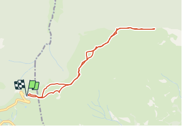

4.2 km | 6.8 km-effort


User


FREE GPS app for hiking
 SityTrail
IGN / Geographical institutes
SityTrail World
The world is yours!
Trail Snowshoes of 4.8 km to be discovered at Occitania, Hautespyrenees, Aucun. This trail is proposed by tracegps.
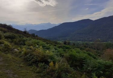
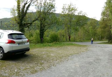
Rando effectuée en raquettes. D’autres informations et des photos sont disponibles ICI Balade proposée par le site « Les Balades et Randonnées de Fred »


Walking

Snowshoes

Walking
Walking

Walking
On foot

Winter sports
Winter sports

Walking