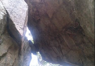
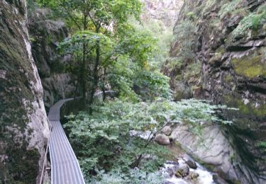
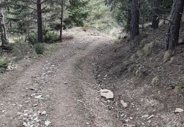
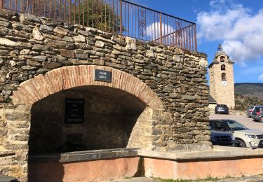
Trail Equestrian Olette - Le Chemin de Vauban - Olette - Villefranche de Confluent - Photo

Le Chemin de Vauban - Olette - Villefranche de Confluent

 tracegps
tracegps

User

© OpenStreetMap contributors
Length
Length
24 km
Max alt
Max alt
1467 m
Uphill gradient
Uphill gradient
1173 m
Km-Effort
Km-Effort  
41 km
Min alt
Min alt
434 m
Downhill gradient
Downhill gradient
1365 m
Boucle
Boucle
No
Creation date :
2014-12-10 00:00:00.0
Updated on :
2014-12-10 00:00:00.0

(0 Reviews)

Equestrian
Equestrian
2h30
Difficulty : Difficult

Scan this QR Code to open this trail in the SityTrail application

FREE GPS app for hiking

Logo SityTrail SityTrail

IGN / Geographical institutes

Download SityTrail from the App Store Download SityTrail from Google Play

Logo SityTrail SityTrail World

The world is yours!

Download SityTrail from the App Store Download SityTrail from Google Play Download SityTrail on Huawei AppGallery

About

Trail Equestrian of 24 km to be discovered at Occitania, Pyrénées-Orientales, Olette. This trail is proposed by tracegps.

Description

Des montagnes d'Ariège aux Terres Romanes des Pyrénées Catalanes ! Reliez à cheval (ou à pied avec un âne de bât) l’Ariège aux Pyrénées Orientales, durant une randonnée itinérante de 4 jours sur les pas du Maréchal de Vauban, architecte et ingénieur miliaire, créateur des célèbres fortifications. Quatrième et dernière étape. D’autres infos ICI. Balade proposée par le Bureau des Guides Équestres Transpyrénéens

Elevation profile

Photos

Positioning

Country:
France
Region :
Occitania
Department/Province :
Pyrénées-Orientales
Municipality :
Olette
Location:
Unknown
Start:(UTM)
440128 ; 4711721 (31T) N.

Trails nearby

Trail Walking Thuès-Entre-Valls - boucle des gorges de Caranca - Photo
Walking
PVERTICAL

Walking

Medium
(2)
Thuès-Entre-Valls, Occitania, Pyrénées-Orientales, France
7.2 km | 15.3 km-effort
3h 1min
Yes
Trail Walking Thuès-Entre-Valls - Gorges de la garanca - Photo
Walking
attelageplaisir

Walking

Very easy
(1)
Thuès-Entre-Valls, Occitania, Pyrénées-Orientales, France
6.7 km | 13.1 km-effort
3h 39min
No
Trail Walking Olette - Evol village et chateau ( Olette) - Photo
Walking
Joël.cof

Walking

Easy
(1)
Olette, Occitania, Pyrénées-Orientales, France
3.2 km | 5.6 km-effort
1h 16min
Yes
Trail Walking Thuès-Entre-Valls - Thuès-Entre-Valls - Gorges de la Cartança - 13.1km D 4h30mn (30mn) - 2018 09 11 - Photo
Walking
GUIDE
Orcal37

Walking

Difficult
Thuès-Entre-Valls, Occitania, Pyrénées-Orientales, France
12.3 km | 23 km-effort
4h 30min
Yes
Trail Walking Jujols - Jujols 1 - Photo
Walking
jcmartin

Walking

Medium
(1)
Jujols, Occitania, Pyrénées-Orientales, France
13.2 km | 22 km-effort
4h 2min
Yes
Trail Walking Thuès-Entre-Valls - Gorges de Carança - Photo
Walking
ochamley

Walking

Medium
(2)
Thuès-Entre-Valls, Occitania, Pyrénées-Orientales, France
13.6 km | 30 km-effort
3h 43min
Yes
Trail sport Serdinya - 20241101 Flassa - Photo
sport
ThonyM

sport

Very easy
Serdinya, Occitania, Pyrénées-Orientales, France
13.6 km | 25 km-effort
Unknown
Yes
Trail Walking Jujols - jujols marbre rouge  - Photo
Walking
66Gribouille83

Walking

Very difficult
Jujols, Occitania, Pyrénées-Orientales, France
16.5 km | 28 km-effort
9h 13min
Yes
Trail Walking Canaveilles - 20221120 Canaveilles - Llar  - Photo
Walking
ThonyM

Walking

Medium
Canaveilles, Occitania, Pyrénées-Orientales, France
11 km | 20 km-effort
3h 15min
Yes


Close
My subscriptions