


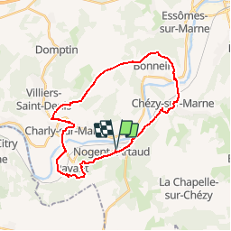

11.1 km | 13.3 km-effort

User


FREE GPS app for hiking
 SityTrail
IGN / Geographical institutes
SityTrail World
The world is yours!
Trail Mountain bike of 26 km to be discovered at Hauts-de-France, Aisne, Nogent-l'Artaud. This trail is proposed by tracegps.
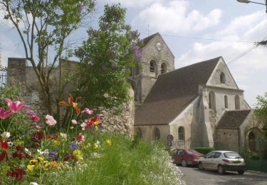
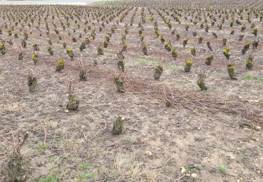
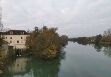
Ce long circuit pour vététistes confimés ou sportifs en forme part de Nogent l'Artaud à la découverte de la vallée de la Marne, des vignes du champagne et des villages bien conservés (habitat en pierre meulière, églises, lavoirs et fontaines). Toutes les infos sont ICI

Walking
Walking
Walking
Walking
Walking

On foot

Walking

Walking
Walking