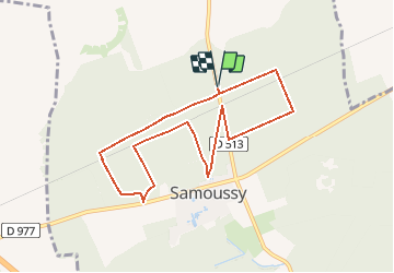

9.2 km | 9.7 km-effort


User


FREE GPS app for hiking
 SityTrail
IGN / Geographical institutes
SityTrail World
The world is yours!
Trail Walking of 7.8 km to be discovered at Hauts-de-France, Aisne, Samoussy. This trail is proposed by tracegps.
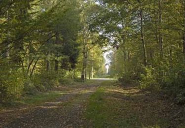
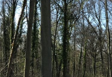
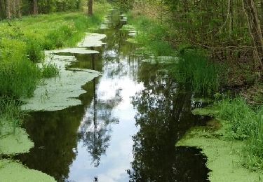
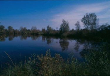
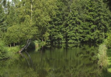
Sans difficulté, ce circuit au cœur de la forêt domaniale de Samoussy propose de découvrir plusieurs plantations (douglas, peupliers, épicéas) au gré des layons ponctuellement sablonneux. La courte durée de ce parcours le destine aux escapades familiales ou de groupe.

Walking
Walking
Walking
Walking

Mountain bike
Walking

Walking

Walking