


5.4 km | 7.1 km-effort

User


FREE GPS app for hiking
 SityTrail
IGN / Geographical institutes
SityTrail World
The world is yours!
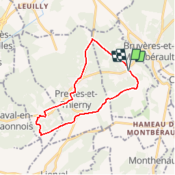
Trail Walking of 11.8 km to be discovered at Hauts-de-France, Aisne, Vorges. This trail is proposed by tracegps.
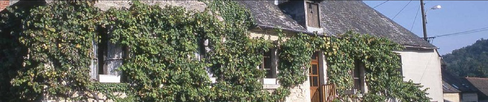
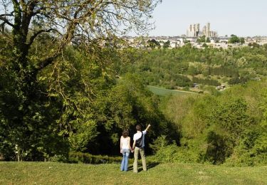
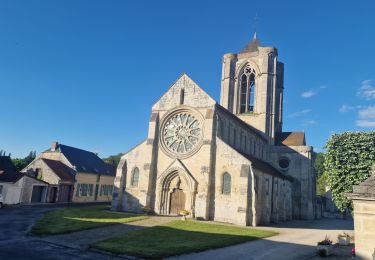
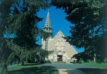
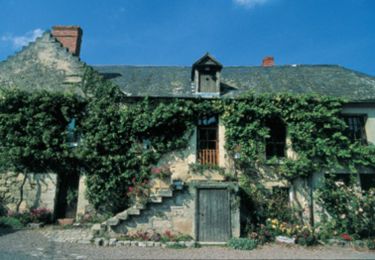
Au cœur du Laonnois, les arpents de terre se souviennent de leur vocation vinicole, mise en valeur par la toponymie et par cette balade entre forêts et vallons. C'est l'occasion d'admirer au détour de quelques rues un vendangeoir, un lavoir (le plus ancien du pays, à Nouvion-le-Vineux, affiche un peu plus de 150 ans) ou encore une remarquable église. Toutes les infos sont ICI


Walking
Walking


Walking

Walking
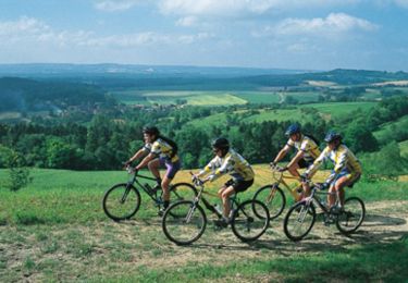
Mountain bike
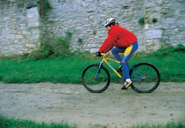
Mountain bike
Mountain bike
Mountain bike