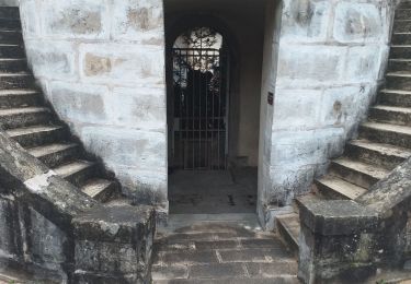
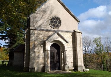
7.3 km | 8.7 km-effort
baraque des violons
eltonnermou
User
Length
5.2 km
Max alt
483 m
Uphill gradient
71 m
Km-Effort
6.1 km
Min alt
437 m
Downhill gradient
72 m
Boucle
Yes
Creation date :
2019-05-07 19:22:20.928
Updated on :
2019-05-07 19:22:20.928
45m
Difficulty : Very easy
FREE GPS app for hiking
About
Trail Walking of 5.2 km to be discovered at Bourgogne-Franche-Comté, Doubs, Tarcenay-Foucherans. This trail is proposed by eltonnermou.
Description
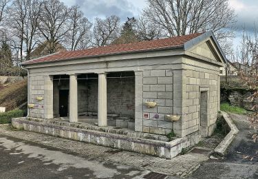
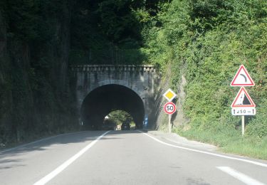
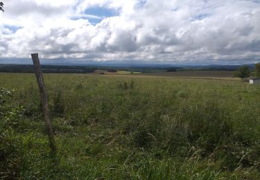
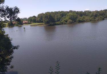
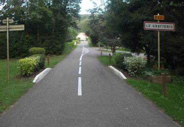
pieds propres, paysages de prairies et sous bois.
Positioning
Country:
France
Region :
Bourgogne-Franche-Comté
Department/Province :
Doubs
Municipality :
Tarcenay-Foucherans
Location:
Tarcenay
Start:(Dec)
Start:(UTM)
281018 ; 5229773 (32T) N.
Comments
Trails nearby
Sentier du Bois de la Fougère
On foot
Easy
Mamirolle,
Bourgogne-Franche-Comté,
Doubs,
France
1h 58min
Yes
Sentier des Essarts
On foot
Easy
Saône,
Bourgogne-Franche-Comté,
Doubs,
France
6.9 km | 8.1 km-effort
1h 50min
Yes
Sentier du Golf
On foot
Easy
Mamirolle,
Bourgogne-Franche-Comté,
Doubs,
France
8.7 km | 10.4 km-effort
2h 21min
Yes
Sentier des Buis
On foot
Easy
Morre,
Bourgogne-Franche-Comté,
Doubs,
France
6.4 km | 9 km-effort
2h 2min
Yes
Grate-ris rit
Walking
Medium
Le Gratteris,
Bourgogne-Franche-Comté,
Doubs,
France
16.2 km | 21 km-effort
2h 54min
Yes
via francigena
Walking
Medium
Morre,
Bourgogne-Franche-Comté,
Doubs,
France
26 km | 32 km-effort
153h 27min
No
grand Saône
Walking
Medium
Saône,
Bourgogne-Franche-Comté,
Doubs,
France
22 km | 28 km-effort
3h 32min
Yes
Le Gratteris
Walking
Easy
Le Gratteris,
Bourgogne-Franche-Comté,
Doubs,
France
10.1 km | 13.2 km-effort
4h 36min
Yes
montrond le château
Walking
Very easy
Montrond-le-Château,
Bourgogne-Franche-Comté,
Doubs,
France
8.1 km | 10 km-effort
2h 14min
Yes