Trail Walking Hirson - Les Forges - Photo
 tracegps
tracegps

User

© OpenStreetMap contributors
Length
Length
10.2 km
Max alt
Max alt
262 m
Uphill gradient
Uphill gradient
167 m
Km-Effort
Km-Effort  
12.4 km
Min alt
Min alt
206 m
Downhill gradient
Downhill gradient
164 m
Boucle
Boucle
Yes
Creation date :
2014-12-10 00:00:00.0
Updated on :
2014-12-10 00:00:00.0

(0 Reviews)

Walking
Walking
2h45
Difficulty : Medium

Scan this QR Code to open this trail in the SityTrail application

FREE GPS app for hiking

Logo SityTrail SityTrail

IGN / Geographical institutes

Download SityTrail from the App Store Download SityTrail from Google Play

Logo SityTrail SityTrail World

The world is yours!

Download SityTrail from the App Store Download SityTrail from Google Play Download SityTrail on Huawei AppGallery

About

Trail Walking of 10.2 km to be discovered at Hauts-de-France, Aisne, Hirson. This trail is proposed by tracegps.

Description

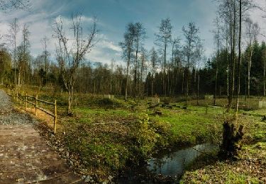
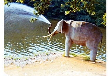
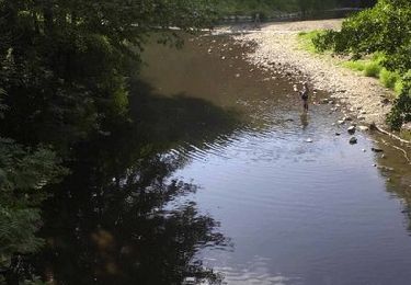
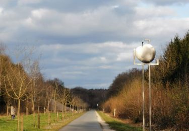
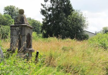
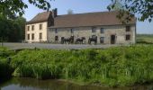
Les beaux étangs d'Anor (La Neuve-Forges, Milourd, la Pas-Bayard...) furent créés aux XVe et XVIe siècles pour alimenter les forges locales, qui utilisaient la force hydraulique ainsi obtenue. Aujourd'hui, ces étendues d'eau calme profitent aux pêcheurs comme aux promeneurs. Toutes les infos sont ICI

Elevation profile

Photos

Positioning

Country:
France
Region :
Hauts-de-France
Department/Province :
Aisne
Municipality :
Hirson
Location:
Unknown
Start:(UTM)
580376 ; 5536293 (31U) N.

Trails nearby

Trail Walking Momignies - Grande Traversée de la Forêt du Pays de Chimay (Great Crossing of the Chimay Forest) - Section 1: Macquenoise - Virelles - Photo
Walking
GUIDE+

Walking

Very easy
(4)
Momignies, Wallonia, Hainaut, Belgium
35 km | 41 km-effort
8h 44min
No
Trail Walking Anor - Circuit des gabelous - Anor - Photo
Walking
tracegps

Walking

Difficult
(1)
Anor, Hauts-de-France, Nord, France
14.1 km | 16.5 km-effort
3h 30min
Yes
Trail Walking Saint-Michel - Le gratte-pierre - Photo
Walking
tracegps

Walking

Very difficult
(1)
Saint-Michel, Hauts-de-France, Aisne, France
13.4 km | 16.3 km-effort
4h 0min
Yes
Trail Walking Momignies - Balade frontalière à Macquenoise - Photo
Walking
GUIDE
Desrumaux

Walking

Medium
(1)
Momignies, Wallonia, Hainaut, Belgium
15.6 km | 18.2 km-effort
4h 0min
Yes
Trail Horseback riding Momignies - 9652253-GT équestre Macquenoise-Forges - Tronçon 1 - Photo
Horseback riding
GUIDE+

Horseback riding

Medium
Momignies, Wallonia, Hainaut, Belgium
20 km | 23 km-effort
2h 59min
No
Trail Walking Momignies - Momignies (11) - Beauwelz Walk - Photo
Walking
GUIDE+

Walking

Easy
Momignies, Wallonia, Hainaut, Belgium
6 km | 6.7 km-effort
1h 30min
Yes
Trail Nordic walking Hirson - 2023-10-02_06h00m24_13KMS MARCHE  - Photo
Nordic walking
PasGoe

Nordic walking

Medium
(1)
Hirson, Hauts-de-France, Aisne, France
7.8 km | 9.6 km-effort
Unknown
Yes
Trail Nordic walking Hirson - 2023-10-02_06h00m24_13KMS MARCHE  - Photo
Nordic walking
PasGoe

Nordic walking

Medium
(1)
Hirson, Hauts-de-France, Aisne, France
12.4 km | 15.2 km-effort
Unknown
Yes
Trail Walking Hirson - de Hirson, au domaine de Dangy, jusqu'à Signy le Petit - Photo
Walking
jeff2

Walking

Medium
Hirson, Hauts-de-France, Aisne, France
22 km | 25 km-effort
7h 58min
No


Close
My subscriptions