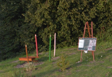
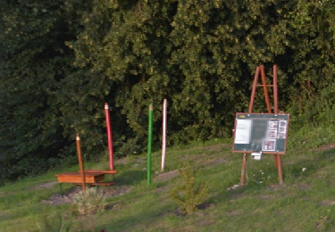
Trail Walking Villeneuve-sur-Fère - Au pays des Claudel - Photo
 tracegps
tracegps

User

© OpenStreetMap contributors
Length
Length
10.1 km
Max alt
Max alt
200 m
Uphill gradient
Uphill gradient
186 m
Km-Effort
Km-Effort  
12.6 km
Min alt
Min alt
92 m
Downhill gradient
Downhill gradient
185 m
Boucle
Boucle
Yes
Creation date :
2014-12-10 00:00:00.0
Updated on :
2014-12-10 00:00:00.0

(1 Reviews)

Walking
Walking
3h00
Difficulty : Very difficult

Scan this QR Code to open this trail in the SityTrail application

FREE GPS app for hiking

Logo SityTrail SityTrail

IGN / Geographical institutes

Download SityTrail from the App Store Download SityTrail from Google Play

Logo SityTrail SityTrail World

The world is yours!

Download SityTrail from the App Store Download SityTrail from Google Play Download SityTrail on Huawei AppGallery

About

Trail Walking of 10.1 km to be discovered at Hauts-de-France, Aisne, Villeneuve-sur-Fère. This trail is proposed by tracegps.

Description

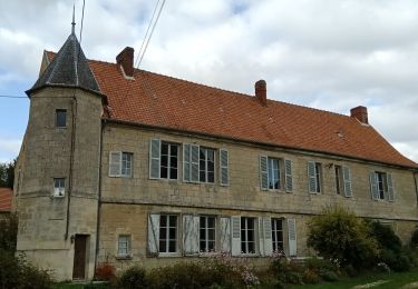
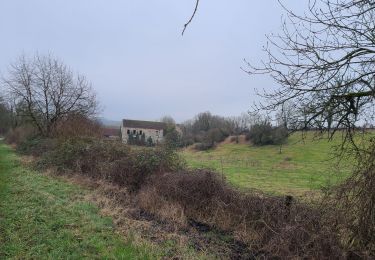
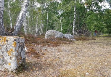
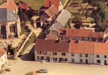
Avec leurs églises bien proportionnées, Villeneuve et Bruyères sont d'élégants villages situés de part et d'autre de l'Ourcq. Au départ de la maison familiale des Claudel, cette boucle descend aux ruines du Val-Chrétien, ancienne abbaye de l'ordre des Prémontrés (site privé), et s'approche du chaos rocheux de la Hottée du Diable. Toutes les infos sont ICI

Elevation profile

Photos

Positioning

Country:
France
Region :
Hauts-de-France
Department/Province :
Aisne
Municipality :
Villeneuve-sur-Fère
Location:
Unknown
Start:(UTM)
534530 ; 5447370 (31U) N.

Comments

Please log in to post a review or rate the element


Rando très sympa, facile et offrant de Jolies vue de l'Omois et de ses villages.


Trails nearby

Trail Walking Nanteuil-Notre-Dame - Nanteuil-Notre-Dame du 02-10-2024 - Photo
Walking
GUIDE
VANDERPUTTENMi

Walking

Medium
Nanteuil-Notre-Dame, Hauts-de-France, Aisne, France
8 km | 9.2 km-effort
2h 5min
Yes
Trail Walking Coincy - Coincy du 17-12-2024 - Photo
Walking
GUIDE
VANDERPUTTENMi

Walking

Medium
Coincy, Hauts-de-France, Aisne, France
8.3 km | 10 km-effort
2h 16min
Yes
Trail Walking Fère-en-Tardenois - FERE VIA BOIS DE SAPONAY DERNIERE VERSION - Photo
Walking
explorateur

Walking

Medium
(1)
Fère-en-Tardenois, Hauts-de-France, Aisne, France
10.5 km | 12.2 km-effort
2h 28min
Yes
Trail Walking Fère-en-Tardenois - Fère en Tardenois par le bois de Saponay - Photo
Walking
GUIDE
VANDERPUTTENMi

Walking

Very easy
Fère-en-Tardenois, Hauts-de-France, Aisne, France
11.5 km | 12.9 km-effort
2h 58min
Yes
Trail Mountain bike Fère-en-Tardenois - Bois de Saponay du 08/09/2020 - Photo
Mountain bike
GUIDE
VANDERPUTTENMi

Mountain bike

Very easy
Fère-en-Tardenois, Hauts-de-France, Aisne, France
10.8 km | 12.1 km-effort
51min
Yes
Trail Walking Villeneuve-sur-Fère - Au Pays de Claudel - Photo
Walking
PatRando

Walking

Easy
Villeneuve-sur-Fère, Hauts-de-France, Aisne, France
23 km | 29 km-effort
6h 17min
Yes
Trail Walking Villeneuve-sur-Fère - Villeneuve Sur Fère - Photo
Walking
PatRando

Walking

Easy
Villeneuve-sur-Fère, Hauts-de-France, Aisne, France
10.8 km | 13.1 km-effort
2h 59min
Yes
Trail Walking Villeneuve-sur-Fère - Au pays des Claudel - Photo
Walking

Walking

Very easy
Villeneuve-sur-Fère, Hauts-de-France, Aisne, France
10.1 km | 12.6 km-effort
Unknown
Yes
Trail Walking Fère-en-Tardenois - ballade dimanche le 7 avril 2013 - Photo
Walking
olivier77580

Walking

Very easy
Fère-en-Tardenois, Hauts-de-France, Aisne, France
95 km | 108 km-effort
3h 43min
No


Close
My subscriptions