


8.3 km | 9.1 km-effort

User


FREE GPS app for hiking
 SityTrail
IGN / Geographical institutes
SityTrail World
The world is yours!
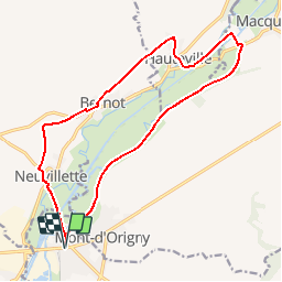
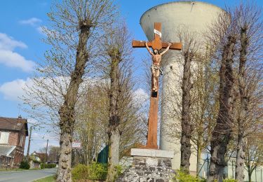
Trail Walking of 15.5 km to be discovered at Hauts-de-France, Aisne, Origny-Sainte-Benoite. This trail is proposed by tracegps.
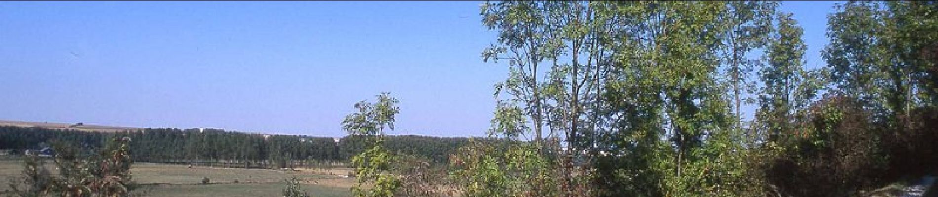
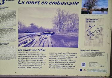
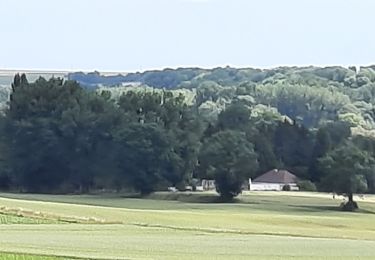
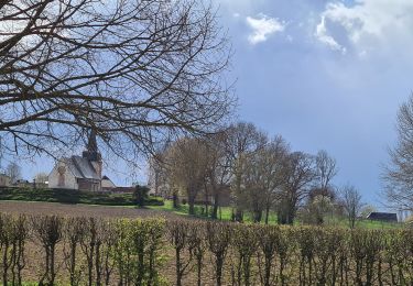
L'Oise déroule ses boucles sauvages rendues célèbres par Stevenson entre des coteaux crayeux propices aux orchidées. Le circuit permet d'apercevoir des rayères, ces anciens barrages destinés à alimenter les moulins, encore régulés par des pierres déplacées à la main, ainsi qu'un pont-canal et un pont tournant. Toutes les infos sont ICI


Walking
Walking
Walking
Walking
Walking
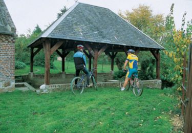
Mountain bike

Walking
Walking
Walking