


4.4 km | 5.7 km-effort

User


FREE GPS app for hiking
 SityTrail
IGN / Geographical institutes
SityTrail World
The world is yours!
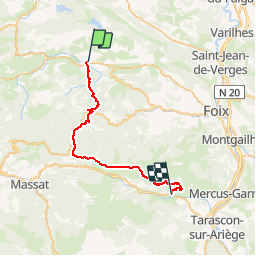
Trail Equestrian of 33 km to be discovered at Occitania, Ariège, La Bastide-de-Sérou. This trail is proposed by tracegps.
Deuxième étape de la Boucle des Balcons des Pyrénées. D’autres infos ici . Balade proposée par le Bureau des Guides Équestres Transpyrénéens Toutes les randonnées équestres dans les Pyrénées Sans Frontières à Cheval


On foot
Running
Mountain bike
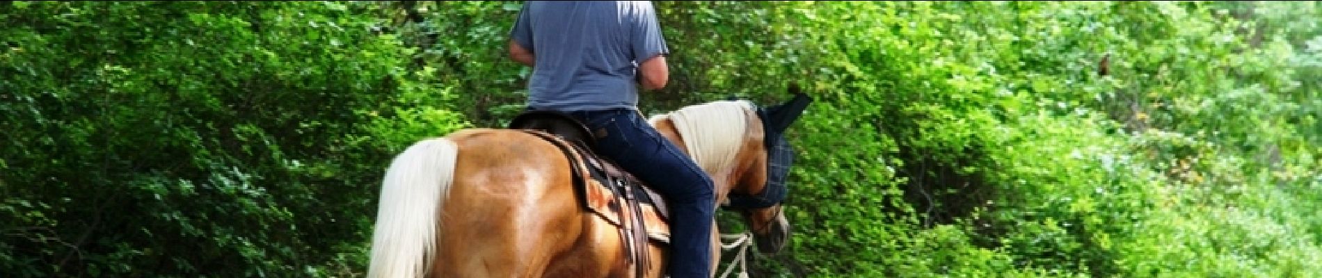
Equestrian
Equestrian

Walking

Running
Running
Walking