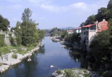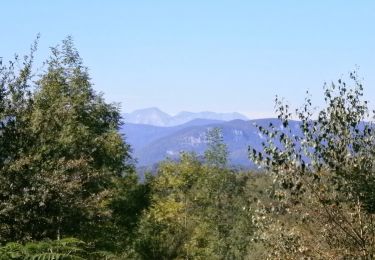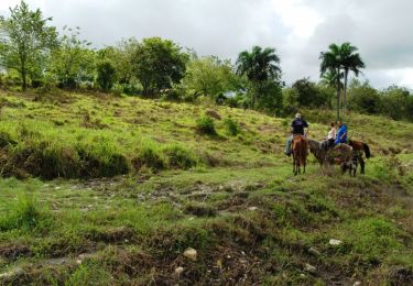

Boucle dans le Massif de l'Arize - Lescure - Pic d'Echeynne

tracegps
User

Length
8 km

Max alt
905 m

Uphill gradient
493 m

Km-Effort
13.2 km

Min alt
428 m

Downhill gradient
67 m
Boucle
No
Creation date :
2014-12-10 00:00:00.0
Updated on :
2014-12-10 00:00:00.0
1h00
Difficulty : Difficult

FREE GPS app for hiking
About
Trail Equestrian of 8 km to be discovered at Occitania, Ariège, Lescure. This trail is proposed by tracegps.
Description
Troisième étape de la Boucle dans le Massif de l’Arize. D’autres infos ICI. Balade proposée par le Bureau des Guides Équestres Transpyrénéens
Positioning
Country:
France
Region :
Occitania
Department/Province :
Ariège
Municipality :
Lescure
Location:
Unknown
Start:(Dec)
Start:(UTM)
356382 ; 4762478 (31T) N.
Comments
Trails nearby

RIMONT


Mountain bike
Medium
(2)
Rimont,
Occitania,
Ariège,
France

13.7 km | 21 km-effort
1h 24min
Yes

Grande Traversée VTT FFC Arièges Pyrénées - Etape 11 - Lescure - St Lizier


Mountain bike
Medium
Lescure,
Occitania,
Ariège,
France

10.5 km | 13.2 km-effort
1h 0min
No

La Coue Rouge - Rimont


Walking
Difficult
(1)
Rimont,
Occitania,
Ariège,
France

14.4 km | 23 km-effort
4h 30min
Yes

Boucle dans le Massif de l'Arize - Pic d'Eychenne - Col de la Crouzette


Equestrian
Medium
Rivèrenert,
Occitania,
Ariège,
France

7.9 km | 13.3 km-effort
1h 0min
No

Bailar, Teule, Birosse, Lescure, voie verte.


Walking
Medium
Montjoie-en-Couserans,
Occitania,
Ariège,
France

8.9 km | 11.8 km-effort
3h 40min
Yes

après st giron


Hybrid bike
Easy
Montjoie-en-Couserans,
Occitania,
Ariège,
France

14.7 km | 16.8 km-effort
1h 15min
Yes

AUTOUR DE LA 117


On foot
Very easy
Montjoie-en-Couserans,
Occitania,
Ariège,
France

8.2 km | 10.2 km-effort
2h 30min
Yes

09_Montjoie en Couserans


Walking
Medium
Lescure,
Occitania,
Ariège,
France

16.4 km | 22 km-effort
3h 55min
Yes

Chemin de croix montagnard à Saint Girons


Running
Difficult
Montjoie-en-Couserans,
Occitania,
Ariège,
France

20 km | 28 km-effort
2h 30min
Yes


 SityTrail


