


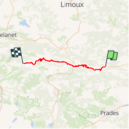

15.2 km | 21 km-effort

User


FREE GPS app for hiking
 SityTrail
IGN / Geographical institutes
SityTrail World
The world is yours!
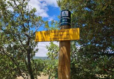
Trail Mountain bike of 59 km to be discovered at Occitania, Pyrénées-Orientales, Caudiès-de-Fenouillèdes. This trail is proposed by tracegps.
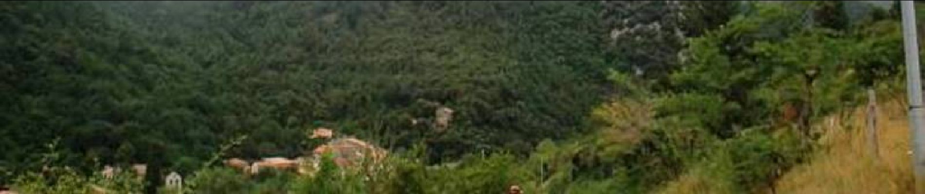
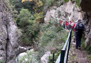
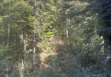
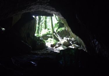
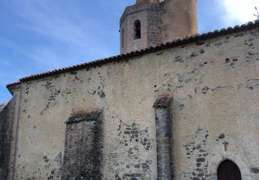
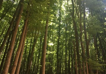
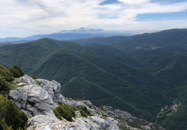
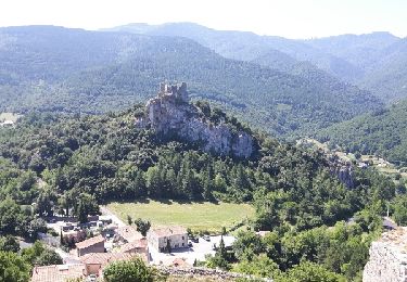
5 Aout 2004 La journée commence par un beau chemin au fond des gorges, parfois le cintre est un peu large…. Il fait beaucoup moins chaud aujourd’hui, petite pluie lorsque l’on arrive au château de Puylaurens. Piste large, suivie d’un sentier beaucoup moins agréable (racines humides…), pour rejoindre Joucou. On choisi l’option ‘facile’ pour cet après midi, tiens, pour une fois, on décide d’économiser un peu de dénivelée….On ne passera pas par Rodome. La suite est ICI


Walking
Walking
Walking
Walking
Walking
Walking
Walking
Walking
Walking