


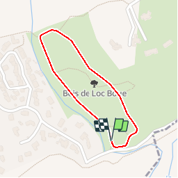

5.7 km | 7 km-effort


User


FREE GPS app for hiking
 SityTrail
IGN / Geographical institutes
SityTrail World
The world is yours!
Trail Walking of 770 m to be discovered at New Aquitaine, Gironde, Bouliac. This trail is proposed by tracegps.
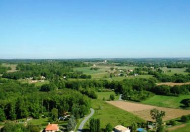
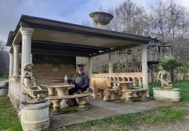
Le parc de Loc Boué est un havre de verdure exceptionnel à la lisière du bourg. Sur près de 6 hectares des parcours tracés au sol serpentent entre des dizaines d’essences d’arbres et arbustes différentes. Vous ne pourrez qu’être agréablement charmés par les nombreux points de vue qu’offre le tour du parc. Véritable cuvette naturelle protégée par les coteaux, le parc est au cœur même d’un réseau de chemins et de sentiers qui vous feront découvrir le territoire de Bouliac. Voir la page détaillée du circuit.


Walking

Walking
Cycle
Walking
Walking

Mountain bike
Walking
Bicycle tourism
Walking