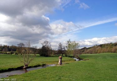
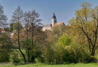
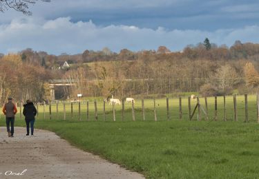
48 km | 56 km-effort
Randonnée à Trizay Coutretot Saint Serge
tracegps
User
Length
16.5 km
Max alt
200 m
Uphill gradient
260 m
Km-Effort
20 km
Min alt
108 m
Downhill gradient
264 m
Boucle
Yes
Creation date :
2014-12-10 00:00:00.0
Updated on :
2014-12-10 00:00:00.0
3h30
Difficulty : Medium
FREE GPS app for hiking
About
Trail Walking of 16.5 km to be discovered at Centre-Loire Valley, Eure-et-Loir, Trizay-Coutretot-Saint-Serge. This trail is proposed by tracegps.
Description
Avec une moyenne de 6km, le circuit dure 3 H00. Petit dénivelé.
Positioning
Country:
France
Region :
Centre-Loire Valley
Department/Province :
Eure-et-Loir
Municipality :
Trizay-Coutretot-Saint-Serge
Location:
Unknown
Start:(Dec)
Start:(UTM)
341693 ; 5351066 (31U) N.
Comments
Trails nearby
Trizay 100-B
Walking
Difficult
(2)
Trizay-Coutretot-Saint-Serge,
Centre-Loire Valley,
Eure-et-Loir,
France
12h 1min
Yes
Vichères - la colline de Rougemont 8 km
Walking
Medium
Vichères,
Centre-Loire Valley,
Eure-et-Loir,
France
8 km | 10.3 km-effort
2h 20min
Yes
Brunelles - Autour du Promontoire 10 km
Walking
Medium
Arcisses,
Centre-Loire Valley,
Eure-et-Loir,
France
10.1 km | 11.6 km-effort
2h 37min
Yes
NOGENT LE ROTROU
Walking
Medium
Nogent-le-Rotrou,
Centre-Loire Valley,
Eure-et-Loir,
France
5.8 km | 6.9 km-effort
1h 33min
Yes
La Gaudaine - les panoramas 12 km
Walking
Easy
La Gaudaine,
Centre-Loire Valley,
Eure-et-Loir,
France
11.9 km | 14.9 km-effort
5min
Yes
SityTrail - Nogent-le-Rotrou - Saint-Victor-de-Buthon 19 km
Walking
Very difficult
Nogent-le-Rotrou,
Centre-Loire Valley,
Eure-et-Loir,
France
19 km | 23 km-effort
5h 5min
No
10981160-ZProjet Nogent - Thiron 2
Walking
Very difficult
Nogent-le-Rotrou,
Centre-Loire Valley,
Eure-et-Loir,
France
22 km | 26 km-effort
6h 0min
No
Nogent-le-Rotrou - Saint-Pierre-la-Bruyère 5,5 km
Walking
Easy
Nogent-le-Rotrou,
Centre-Loire Valley,
Eure-et-Loir,
France
5.5 km | 6.9 km-effort
3h 42min
No
La Gaudaine 20
Walking
Medium
(2)
La Gaudaine,
Centre-Loire Valley,
Eure-et-Loir,
France
19.9 km | 25 km-effort
5h 22min
Yes