

Boucle Tregunc, Saint Philibert

tracegps
User

Length
20 km

Max alt
39 m

Uphill gradient
172 m

Km-Effort
22 km

Min alt
3 m

Downhill gradient
175 m
Boucle
Yes
Creation date :
2014-12-10 00:00:00.0
Updated on :
2014-12-10 00:00:00.0
1h30
Difficulty : Medium

FREE GPS app for hiking
About
Trail Mountain bike of 20 km to be discovered at Brittany, Finistère, Trégunc. This trail is proposed by tracegps.
Description
Boucle Tregunc, Saint Philibert. Départ à la chapelle de saint Philibert, entre la boulangerie et la chapelle. Rando sympa sans grande difficulté. L'anse de Rospico, plage de Kersidan à portée de vue...
Positioning
Country:
France
Region :
Brittany
Department/Province :
Finistère
Municipality :
Trégunc
Location:
Unknown
Start:(Dec)
Start:(UTM)
437659 ; 5295035 (30T) N.
Comments
Trails nearby


Samedi 4 novembre 2012


Walking
Very easy
(1)
Névez,
Brittany,
Finistère,
France

6.6 km | 7.2 km-effort
1h 16min
Yes

Randonnee de Trévignon - Trégunc


Walking
Easy
(2)
Trégunc,
Brittany,
Finistère,
France

6.7 km | 7.3 km-effort
1h 45min
Yes
Yregunc re ar wenodenn


Walking
Easy
Trégunc,
Brittany,
Finistère,
France

5.8 km | 6.2 km-effort
1h 33min
Yes
Saint Philibert-Trévignon plage


Walking
Medium
Trégunc,
Brittany,
Finistère,
France

7.1 km | 7.7 km-effort
1h 55min
Yes
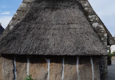
Kerascoët- Plage de Tahiti-Raguenez


Walking
Very easy
Névez,
Brittany,
Finistère,
France

3.8 km | 4.3 km-effort
2h 34min
Yes

Rospico, Trémorvézen, Kercvaillet, Plage Tahiti et retour par bord de mer


Walking
Very easy
(1)
Névez,
Brittany,
Finistère,
France

7 km | 7.8 km-effort
2h 0min
Yes


 SityTrail


